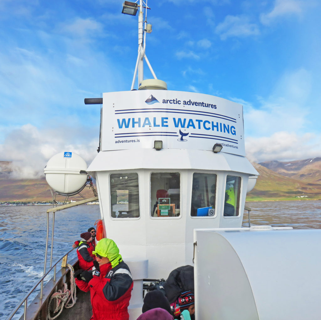
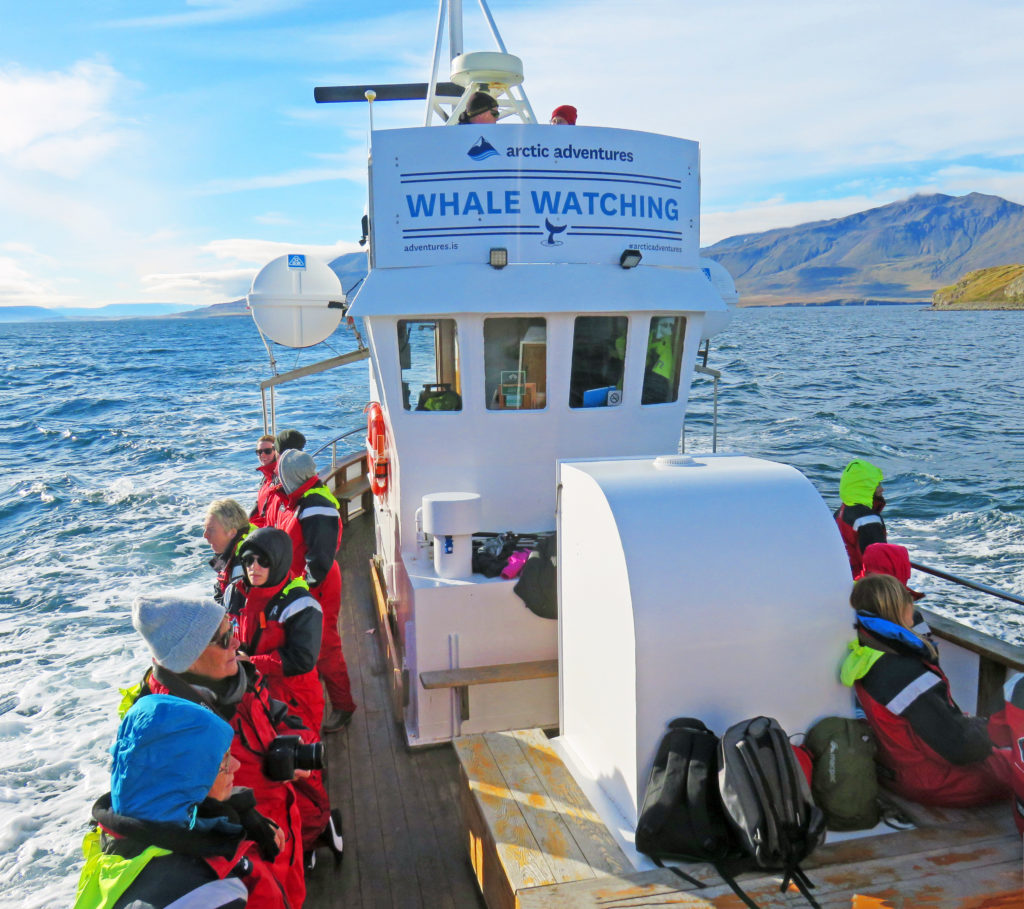
We set out on a re-purposed mid-size fishing boat to search for whales.
September 6, 2018
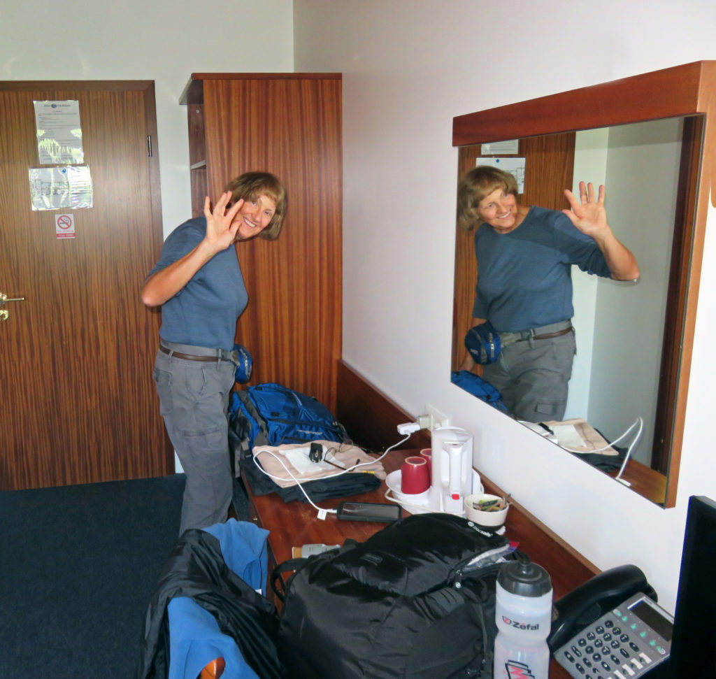
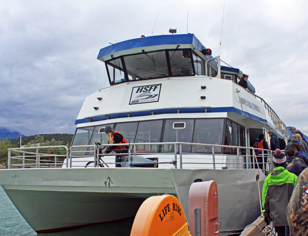
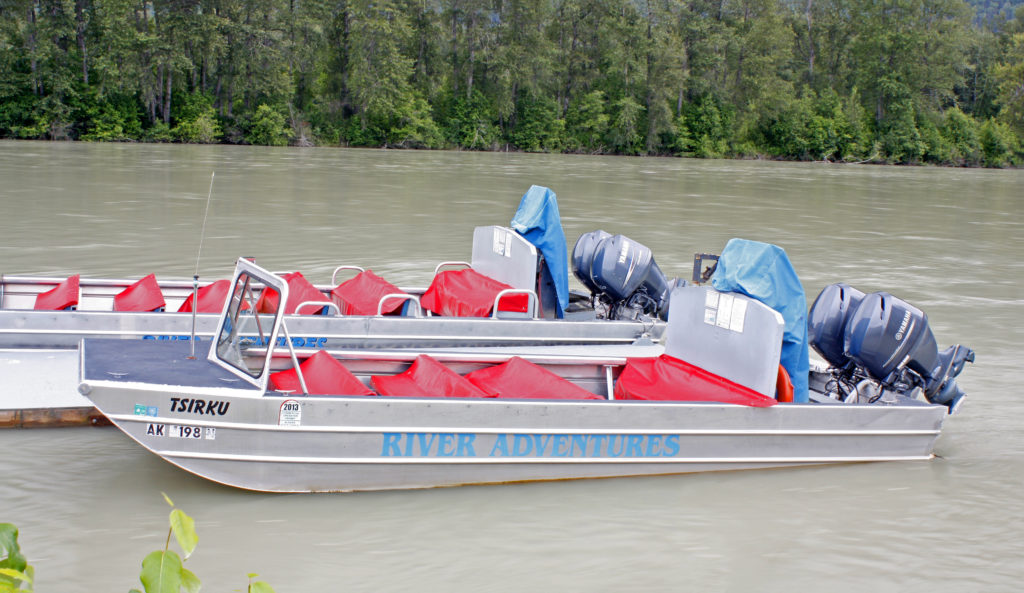
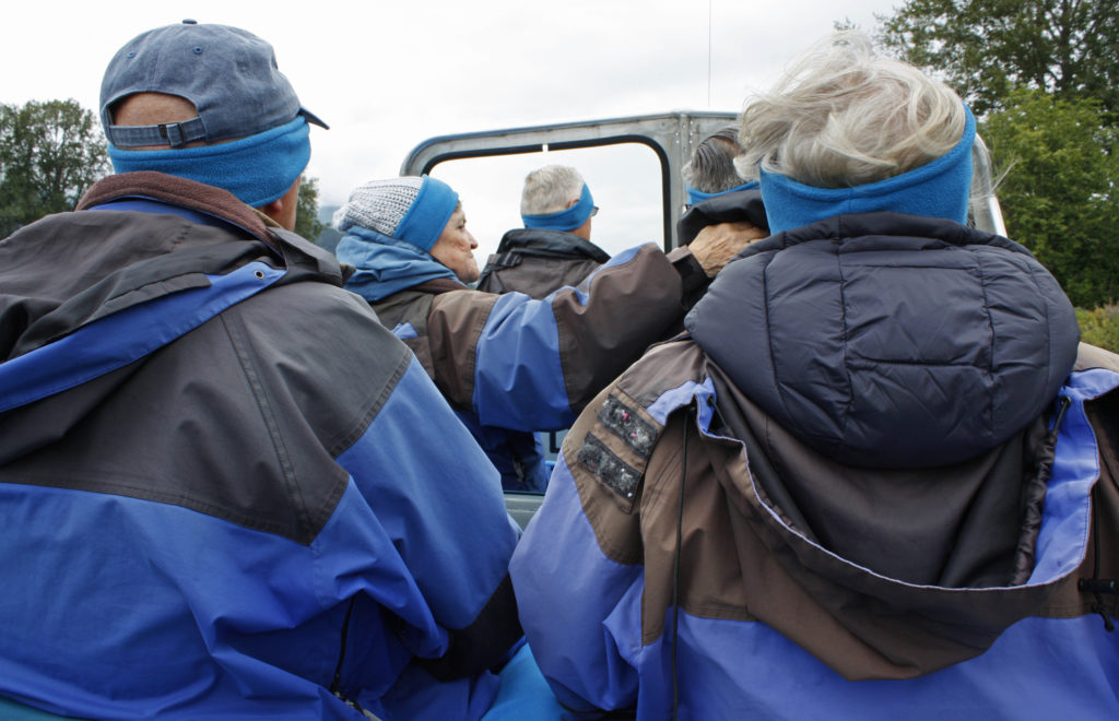
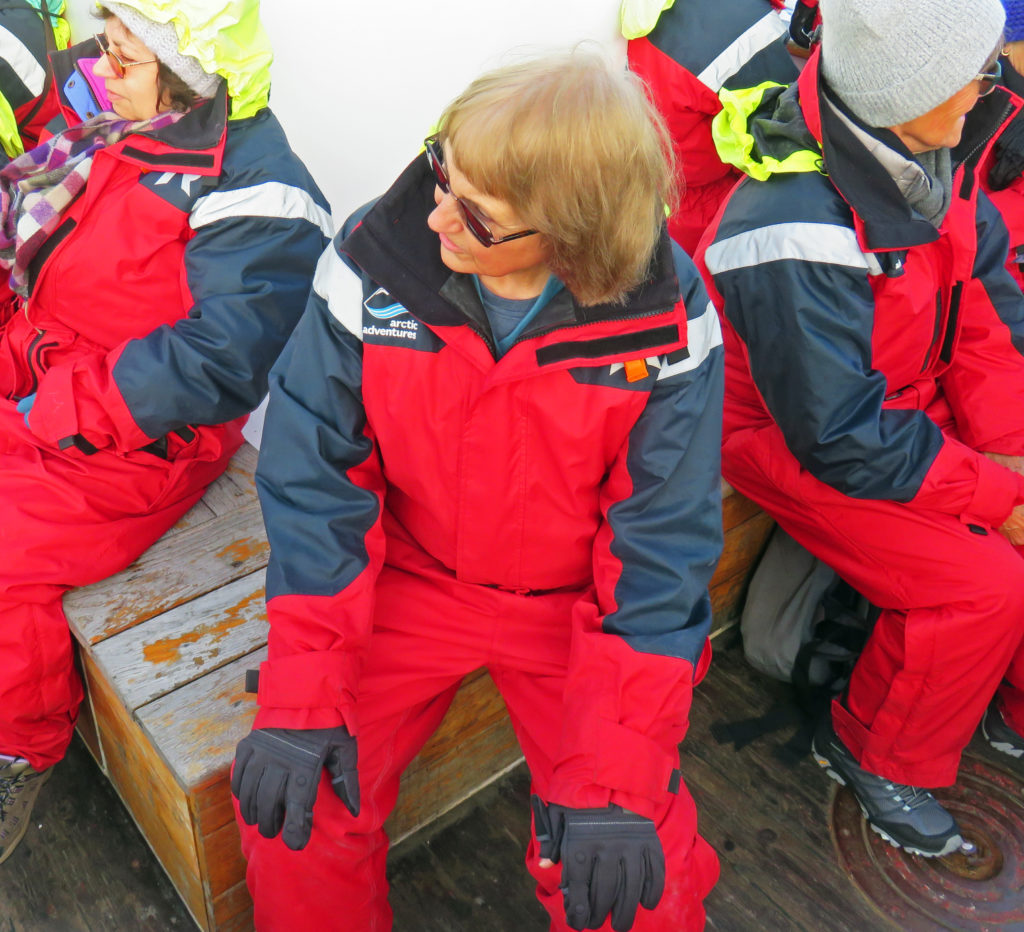
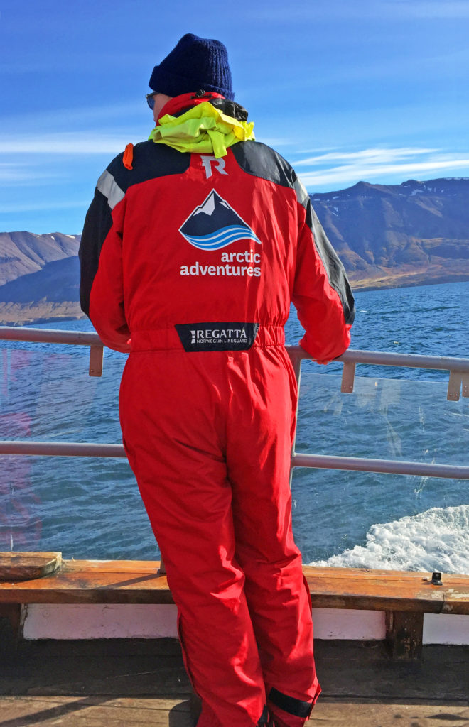
We were up early and excited about the whale watching tour we were going on. After a great breakfast buffet, we arrived at the whale watching headquarters in Dalvik Harbor. Dalvik is located on the Tröllaskagi Peninsula, in an area that is known for its excellent whale watching conditions. Our boat would be sailing in the Eyjafjordur fjord. The company (Arctic Adventures) operates two re-purposed mid-size fishing boats and a Rubber Inflatable Boat (RIB). We filed into a room full of large hanging racks where we were each issued a bright red full-body exposure suit. After donning them over our existing clothing, we spend a few minutes admiring our new sartorial splendor and snapping photos of each other.
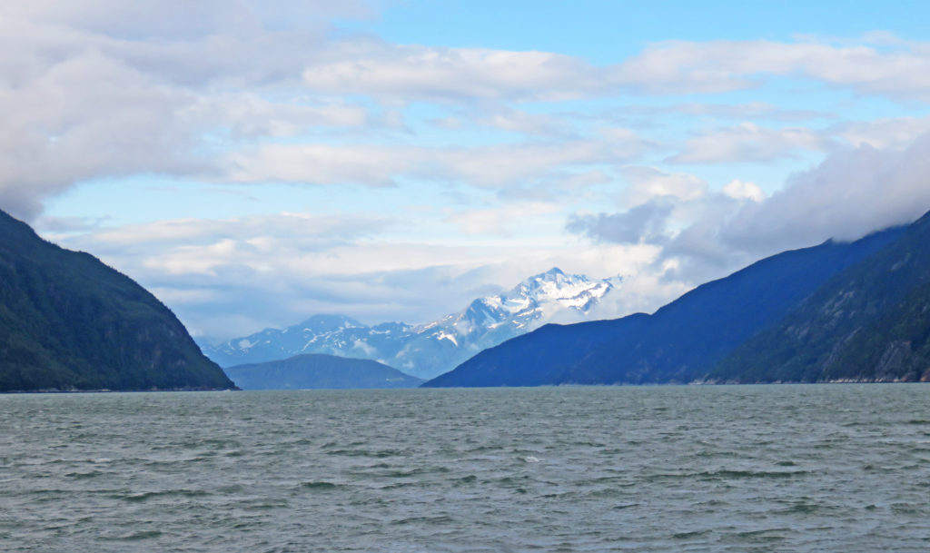
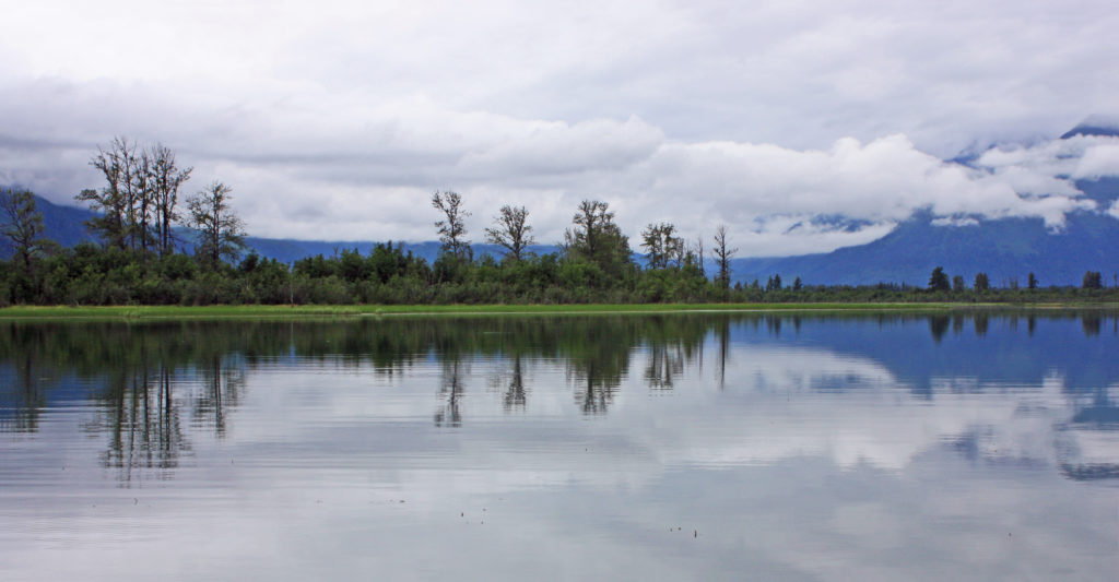
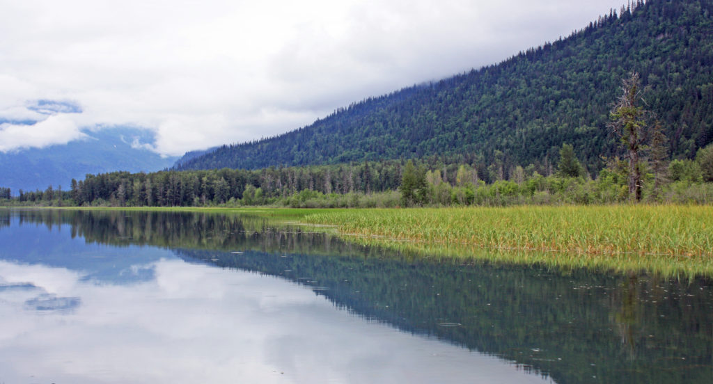
Then it was a short walk to the pier. We walked on board and were underway by 9 a.m. Three of our group had paid extra and got underway at the same time on the RIB. The advantage was individual seats, excellent visibility for every passenger, speedy movement that maximized the probability of finding cetaceans, and time on station. The downside was a rougher ride and greater exposure to wind and wave (water!). Our scheduled three-hour cruise actually lasted four hours because of how long it took to find whales. We saw a group of porpoises zoom by in the other direction shortly after leaving the dock but had to travel far out to beyond the fjord entrance before we encountered a group of humpback whales. At that furthest point we were about seven miles from the Arctic Circle – basically, it was marked by the horizon line to the north.
We saw up to three humpback whales at once and the boat was able to maneuver quite close to them – sometimes within 20-30 feet of one. The whales seemed to pay little attention to the several circling whale watching boats, although they surely knew that the boats were there. They would breath several times over a few minutes then do a final breath and sound with their tail flukes rising gracefully out of the water as they started a deep dive. The group of three thrilled us by sounding one after another.
Earlier, the boat guide had spotted a minke whale in the distance (referred to as a “stinky minke” due to the smell of their exhalations) but we did not try to get close to it because that species typically swims away from the boats. The day was perfect for whale watching; very sunny with ~30% cloud cover, light winds, moderate swells from the north, temperature in the high 40’s/low 50’s. The swells did cause some seasickness on board, but following seas produced a smooth ride returning to port, which helped. What a memorable experience.
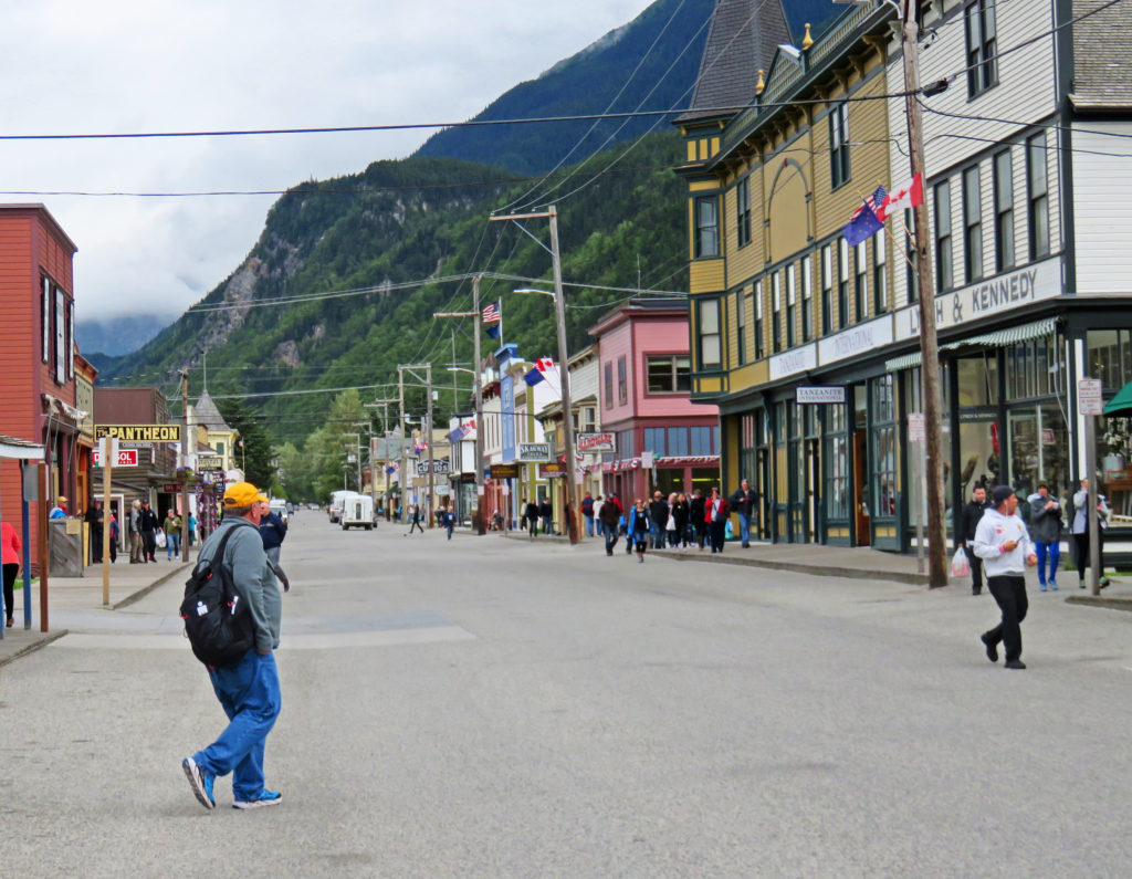
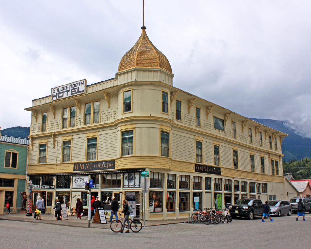
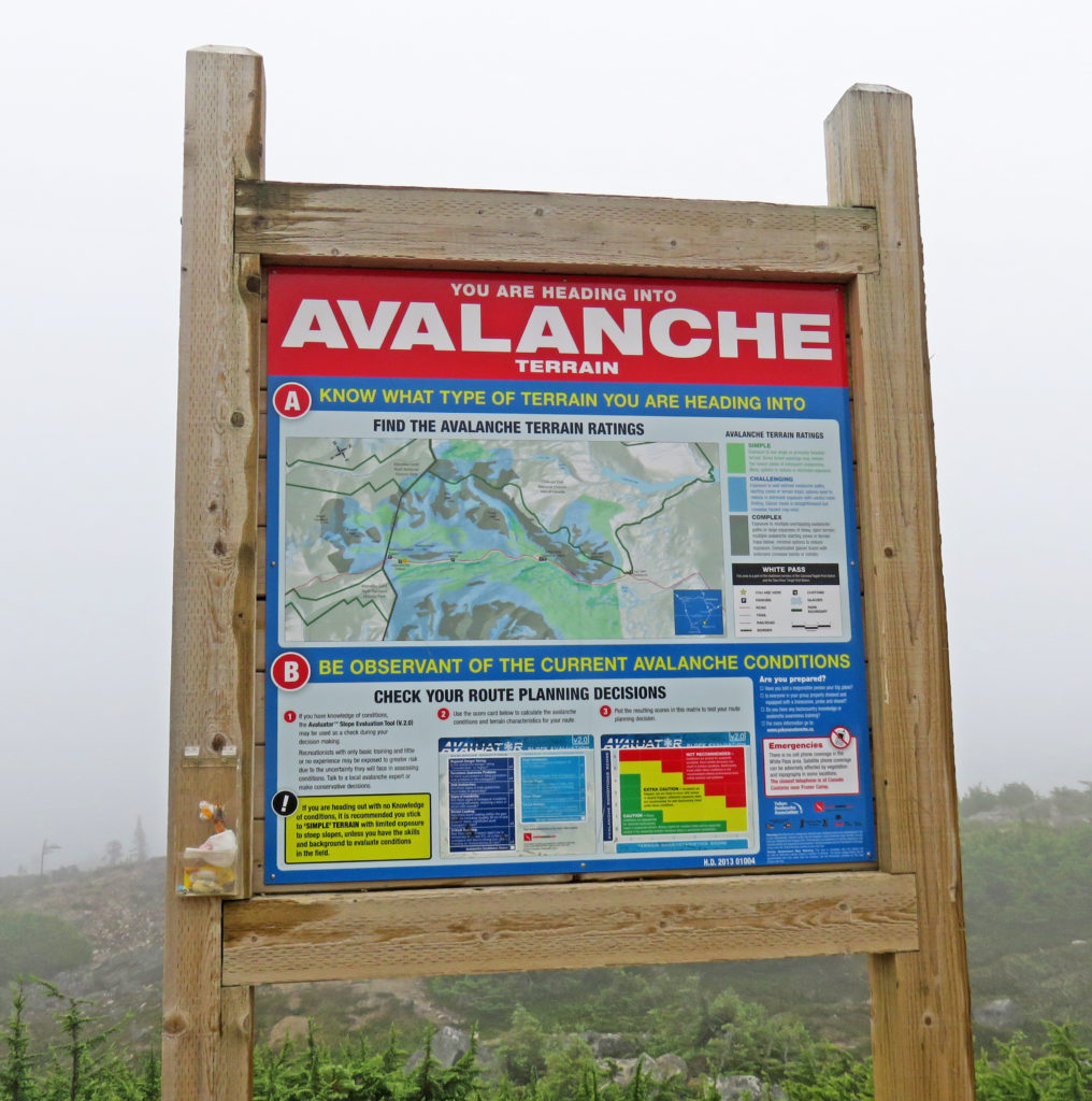
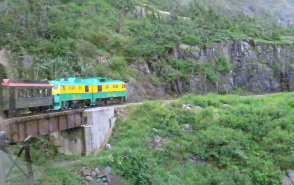
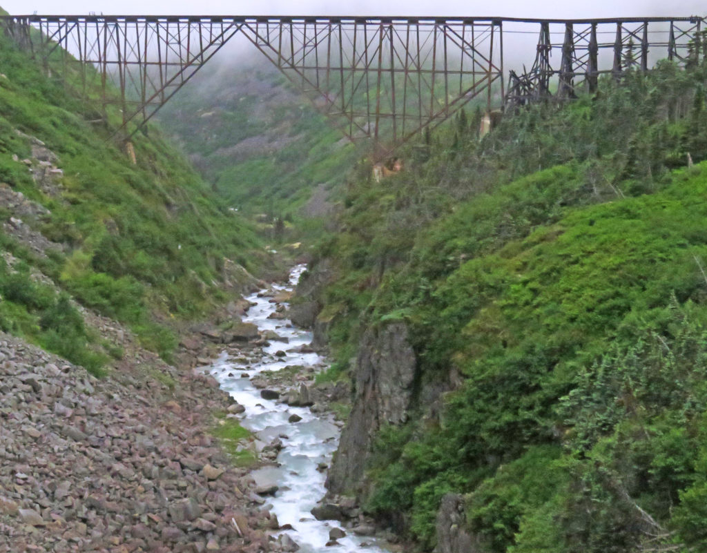
We jumped back in the van again and drove a few miles to the town of Olafsfjordur where we entered a single-lane, two-direction tunnel. The seven-mile tunnel emptied out into the small fishing village of Siglufjordur. It was a great place to break for lunch. The village used to be the largest herring fishing port in Iceland. For a while, the town experienced a Gold Rush type expansion but when the herring stocks collapsed due to overfishing the town almost died. Fishing for cod continues and tourism and better road access have saved it. We had lunch in a local bakery–very good. On the mountain that overlooks the town we observed a complex set of horizontal metal structures that appeared somewhat like fences. Using helicopters, they had been installed to help prevent avalanches–a significant danger due to the local topography.
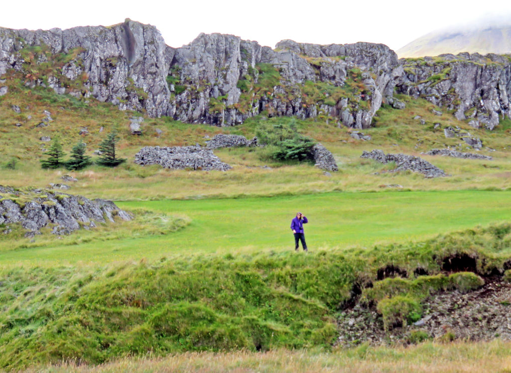
We left Siglufjordur and headed in a southwest direction. We were traveling once again through rolling volcanic hills and peaks. There were lots of small farms. Our guide said that there were no industrial-size farms in Iceland, only single-family farms, many of which had been run by the same families for hundreds of years. Again, sheep were everywhere; we saw more horses and cows than during the last few days. The main crop was clearly hay for animal fodder during the winter months. Reaping and baling was in progress throughout the island. Much of the baled hay was still scattered in the fields like “pellets” left behind by Paul Bunyan’s gigantic sheep and encased in plastic wraps of various colors (white, blue, yellow, red); Some of the huge bales were stacked neatly in piles next to low one-story barns.
At 5 p.m., we stopped at our final destination Glaumbaer, the site of an immaculately preserved 18th century turf farm house and church. There had been a church on the site for hundreds of years; the current structure dated back to 1926. As with most of the other churches seen scattered throughout the countryside, it was relatively small and very plain – a simple rectangular structure with a door at one end, three or four windows along each long side, and a modest steeple topped by a cross – no gargoyles, ornate spires, flying buttresses, or massive stone blocks. Many of these churches were similarly isolated, standing practically alone in the countryside. Lutheran churches predominate (hence the lack of ornamentation); our guide mentioned that there were only two Catholic churches in Iceland, one in each of the two largest cities. Upon entry, the interior of the church proved as plain as the exterior with unadorned wooden walls and benches and a simple altar and pulpit. The highlight was a beautiful wooden pipe organ in the rear of the room.
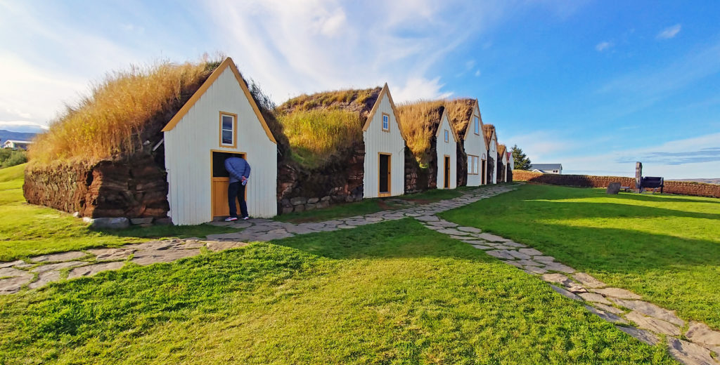
The farm house was made up of 13 different buildings, all linked together, with each having its own function. The rustic buildings were a charming and potent reminder of rural life in Iceland in the 18th and 19th centuries, and were made of timber, stone, and turf, with the turf laid out in long strips in a herringbone pattern between the stone. The construction included some wood and small windows – pretty primitive. Our guide pointed out that the house would have been that of a relatively wealthy person of the time and originally would not have had any windows since glass was unavailable. Other Icelandic people lived in even more primitive dwellings with little or no wood – rock, turf, mud. The church and house area were partially enclosed by a low, one-foot thick turf wall laid in a chevron pattern.
At 7 p.m., we arrived at our lodging for the night – Hotel Laugarbakki – another large country inn that was located near the small town of Bitfrost, a small university community. The modern-looking building used to be the local school. It proved to be a very nice accommodation. There were thick robes staged in the room for use in getting to/from the hotel’s open-air hot tubs. Around 11 p.m. that evening most of our group met with our guide outside the hotel to try to see the northern lights. It was partly cloudy with some upper level haze, but we could see stars in large patches of sky. The northern lights proved a bit shy, but we did see some for a bit, faintly. Mission accomplished, we called it a night before frostbite set in.
Bless,
Kathy
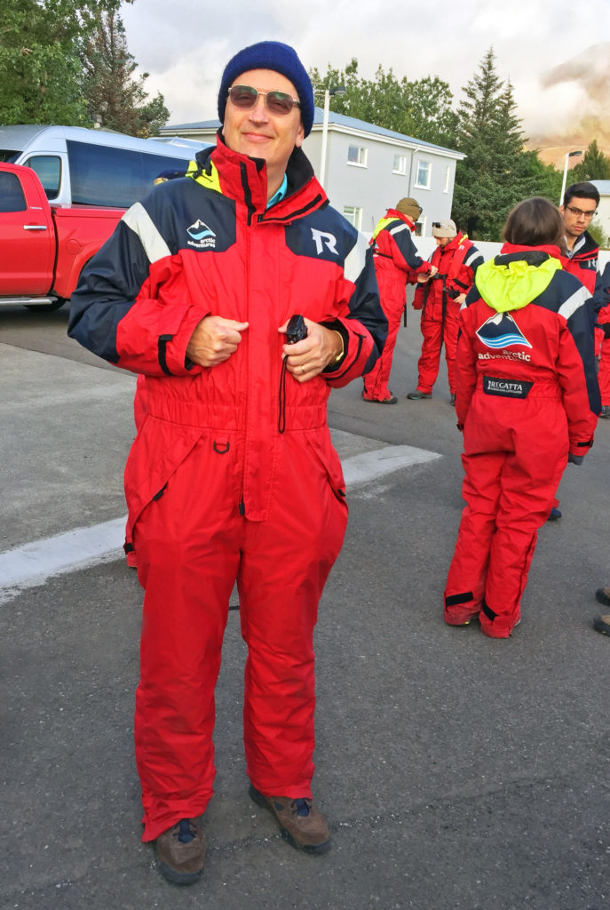
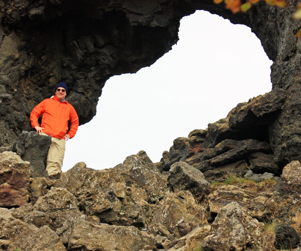
Rodge posing in his full body exposure suit.
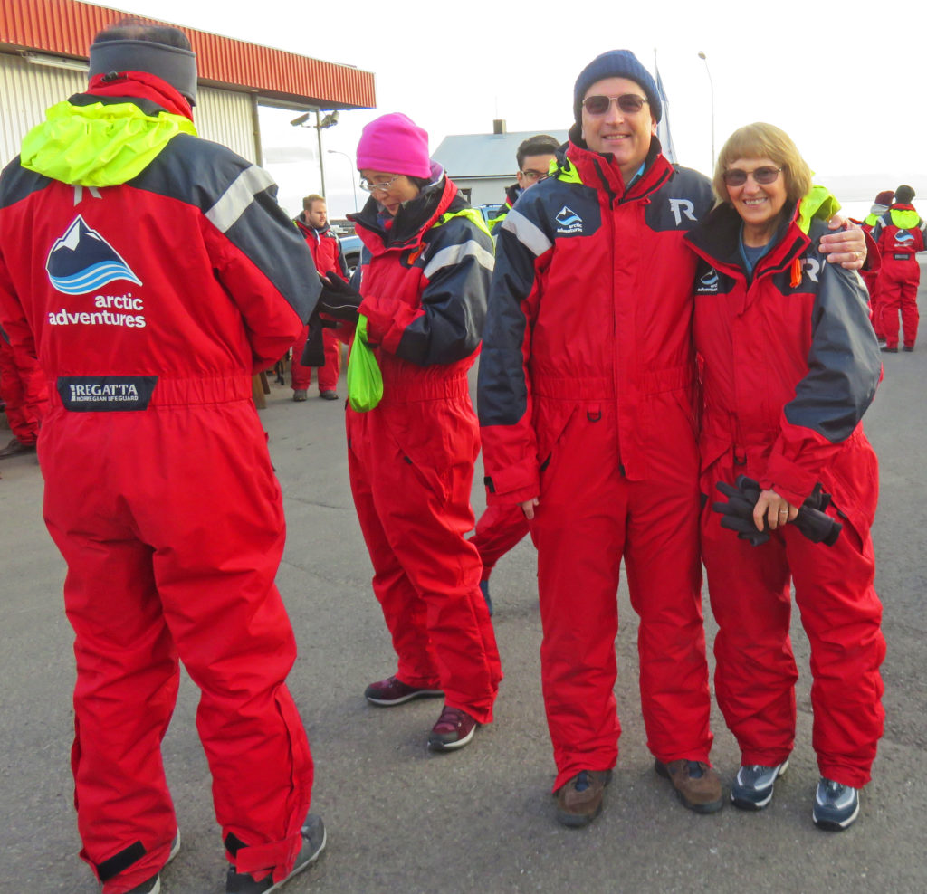
We are both ready for some whale watching.
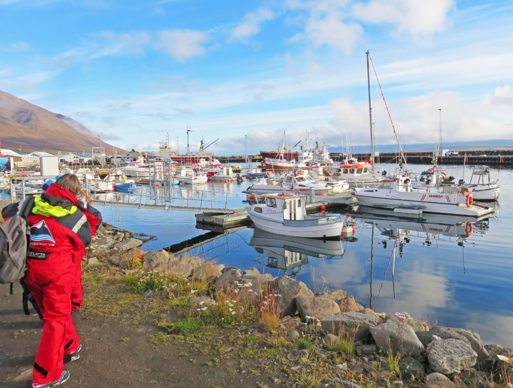
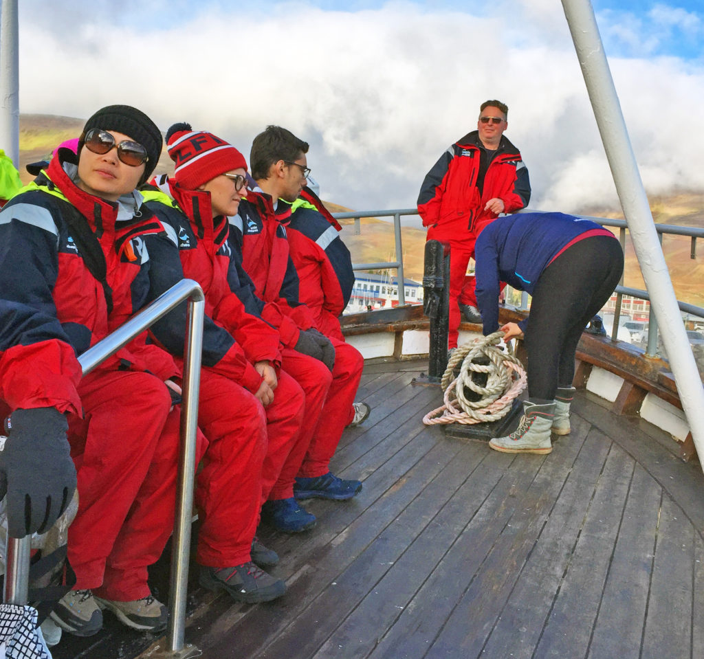
Walking to our fishing boat in Dalvik Harbor.
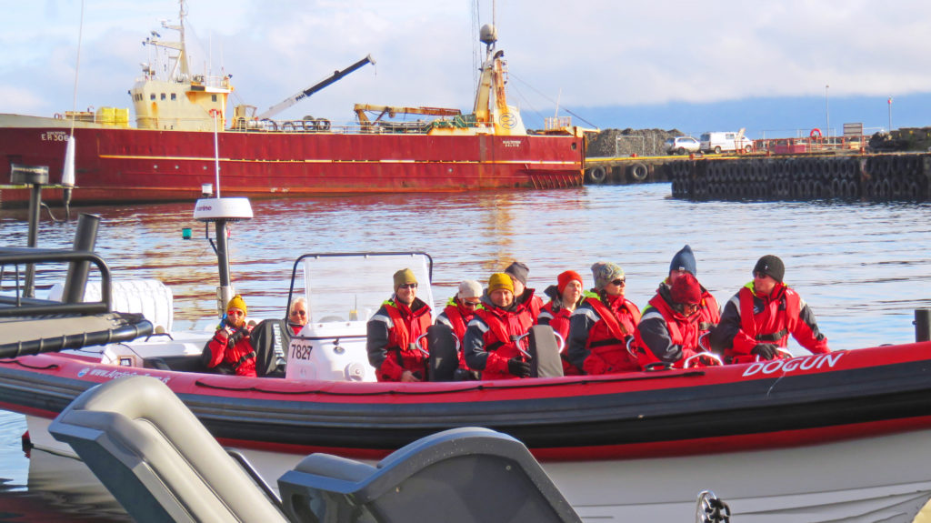
The RIB is ready to go exploring for whales.
Pulling out of Davik Harbor into the fjord.
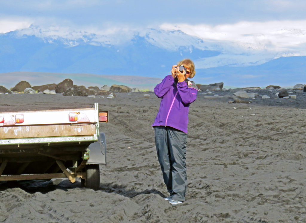
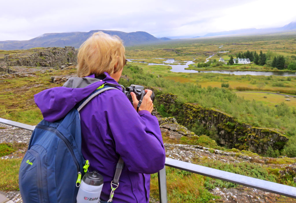
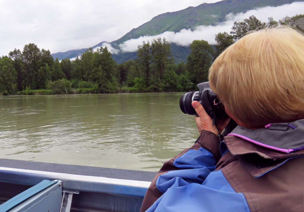
Kathy looking for humpback whales.
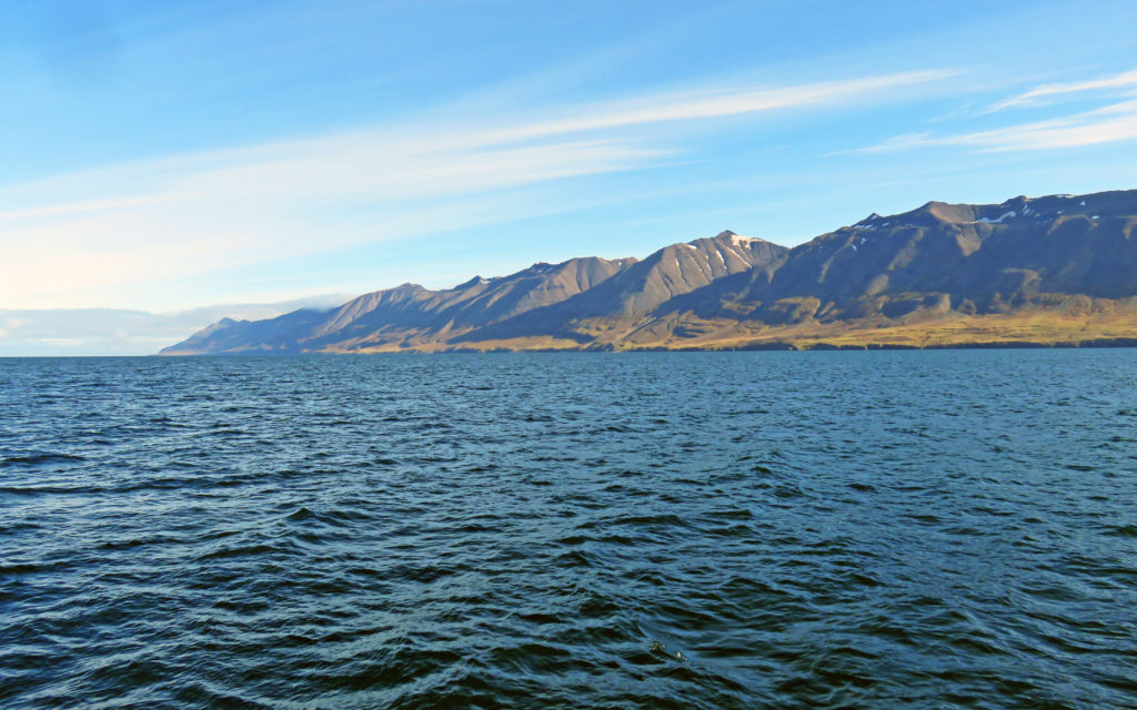
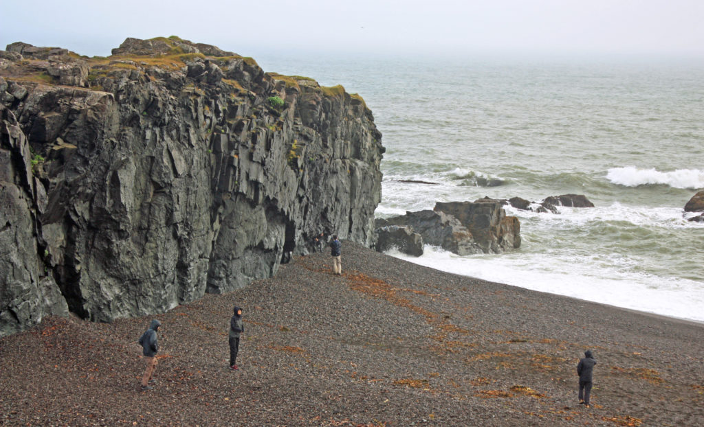
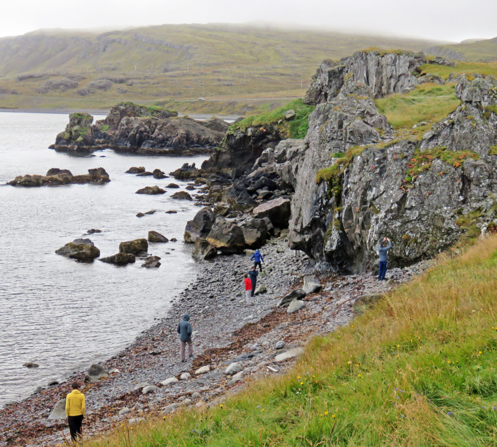
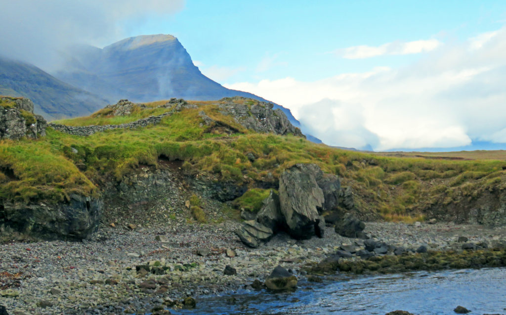
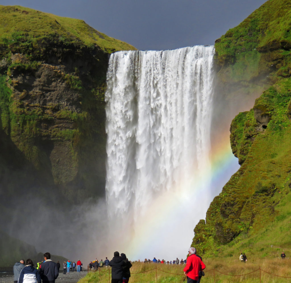
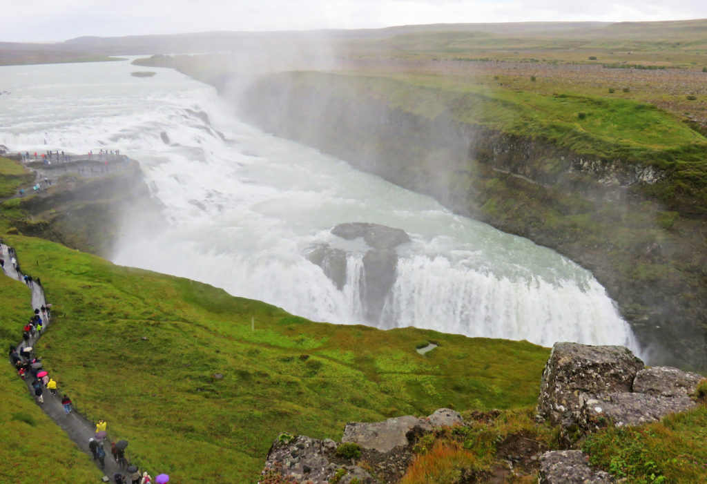
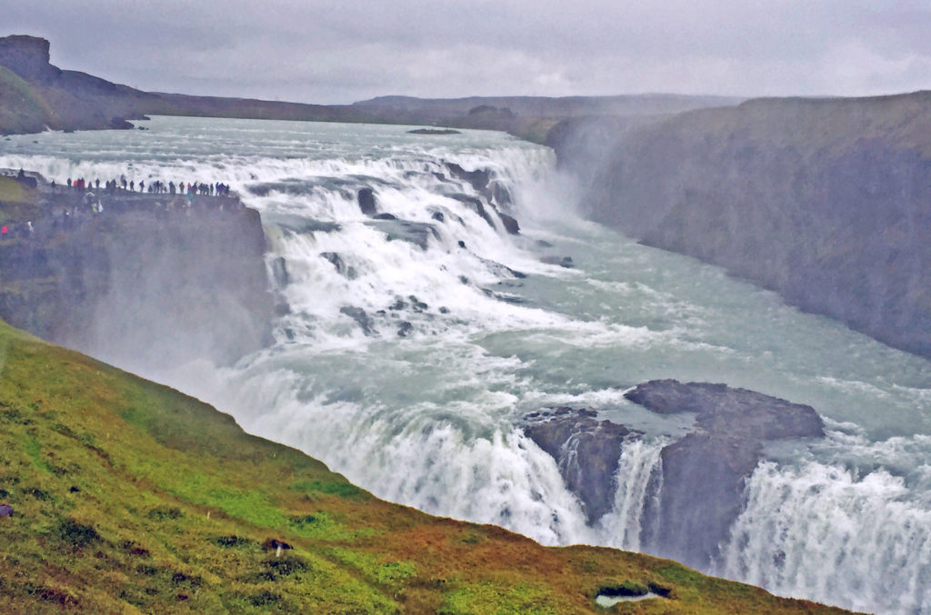
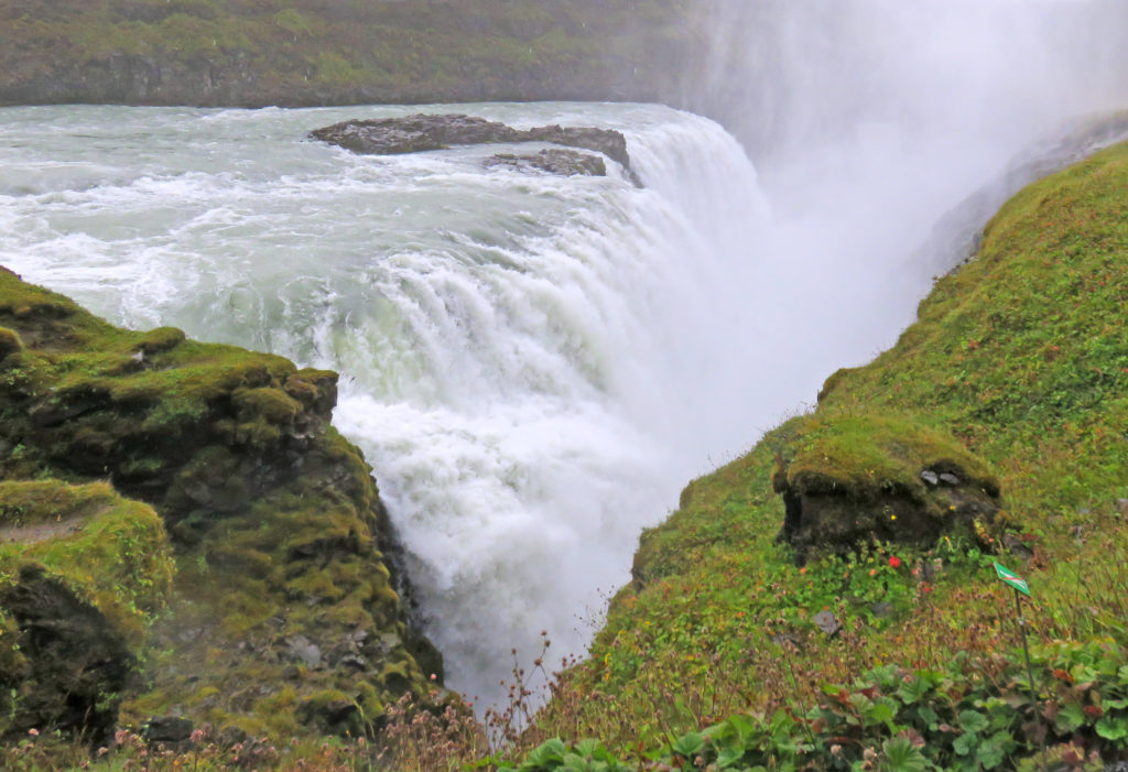
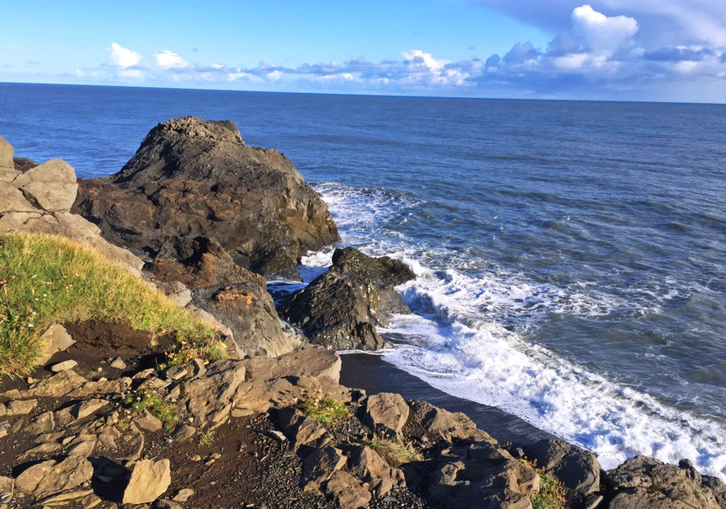
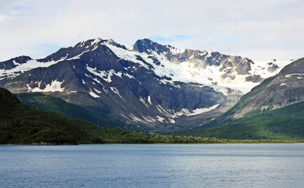
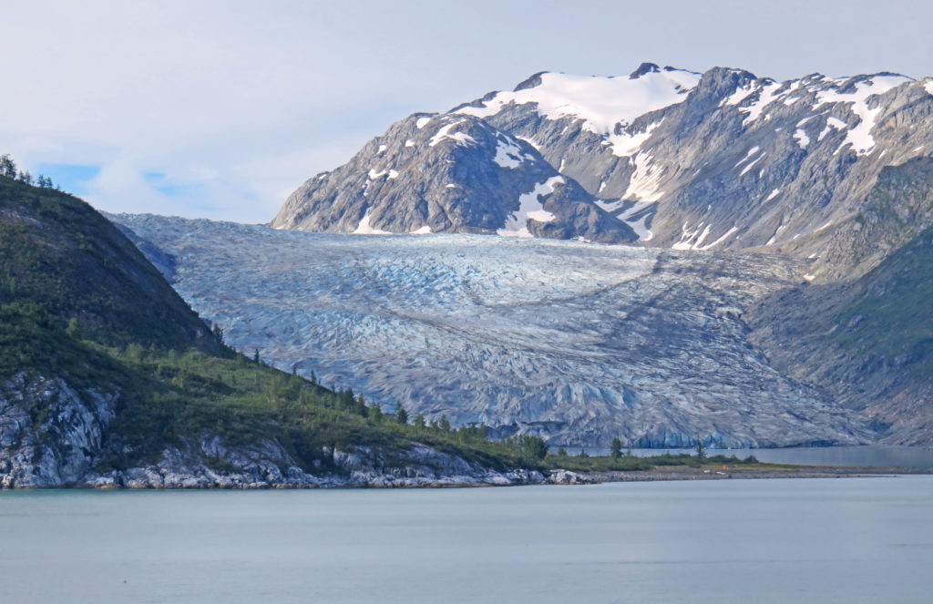
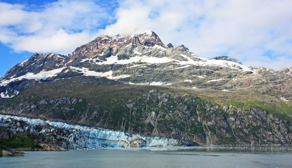
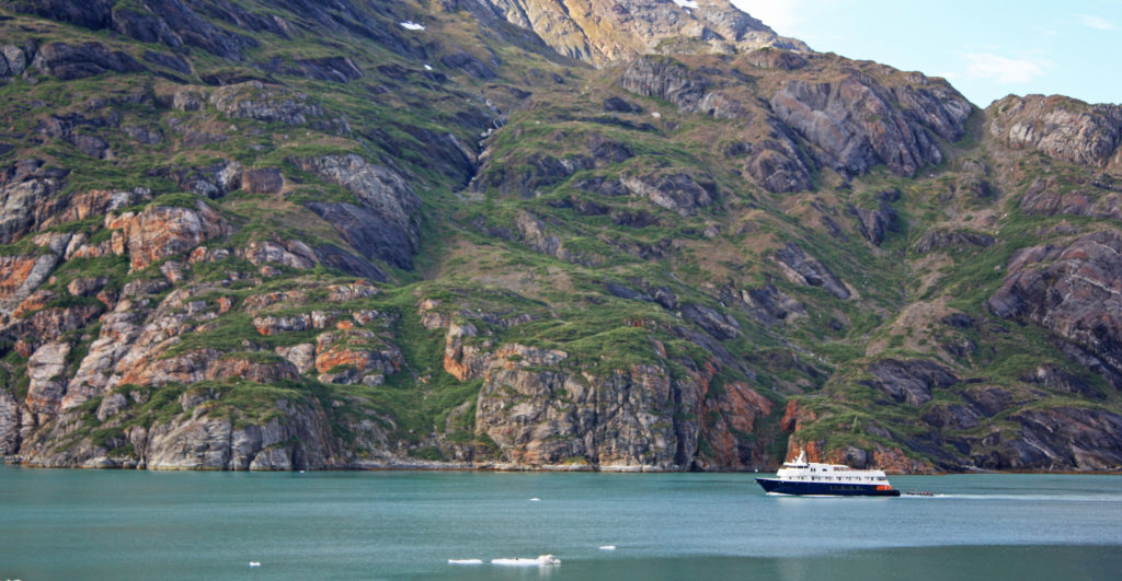
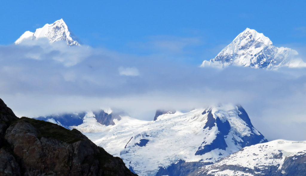
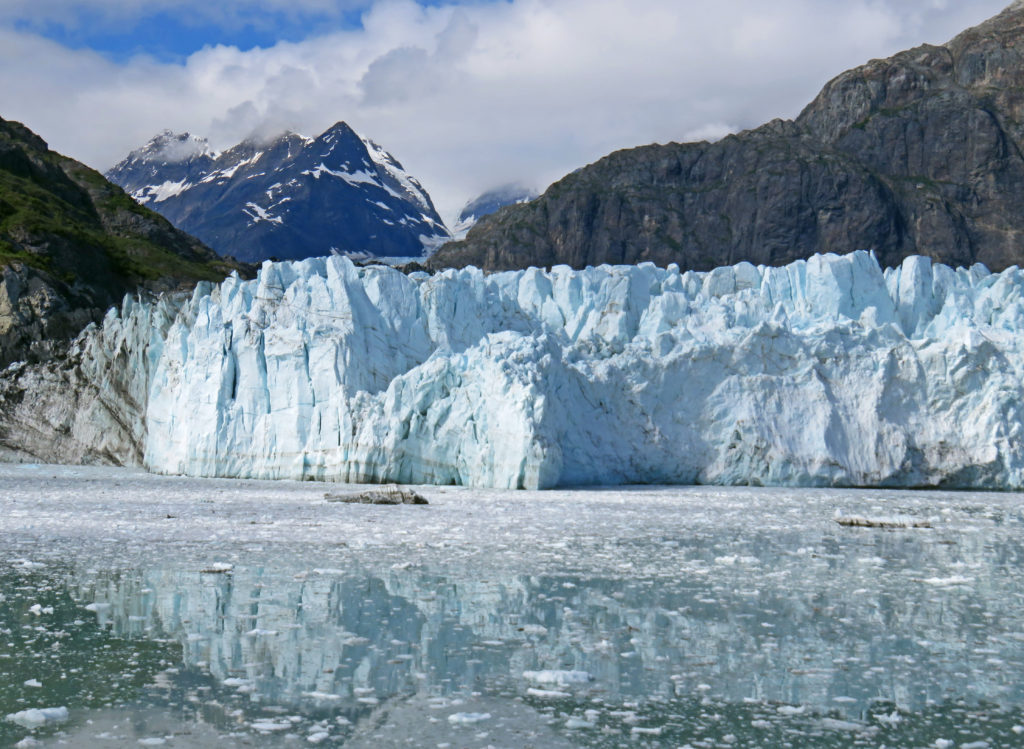
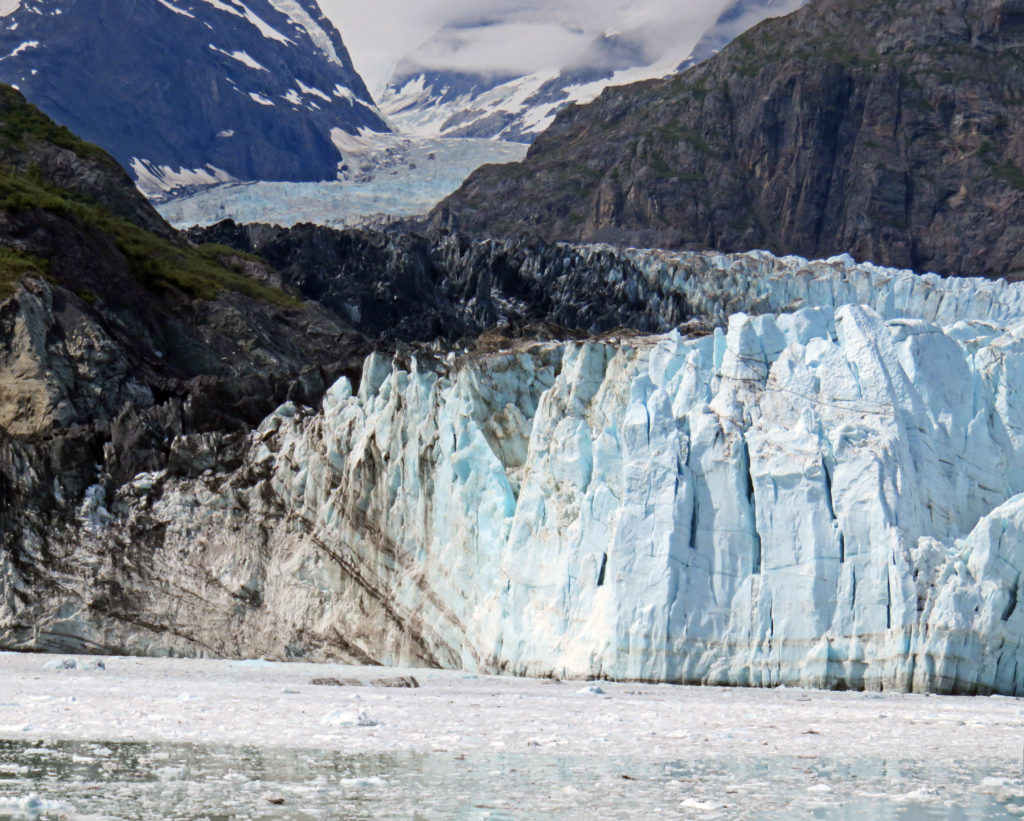
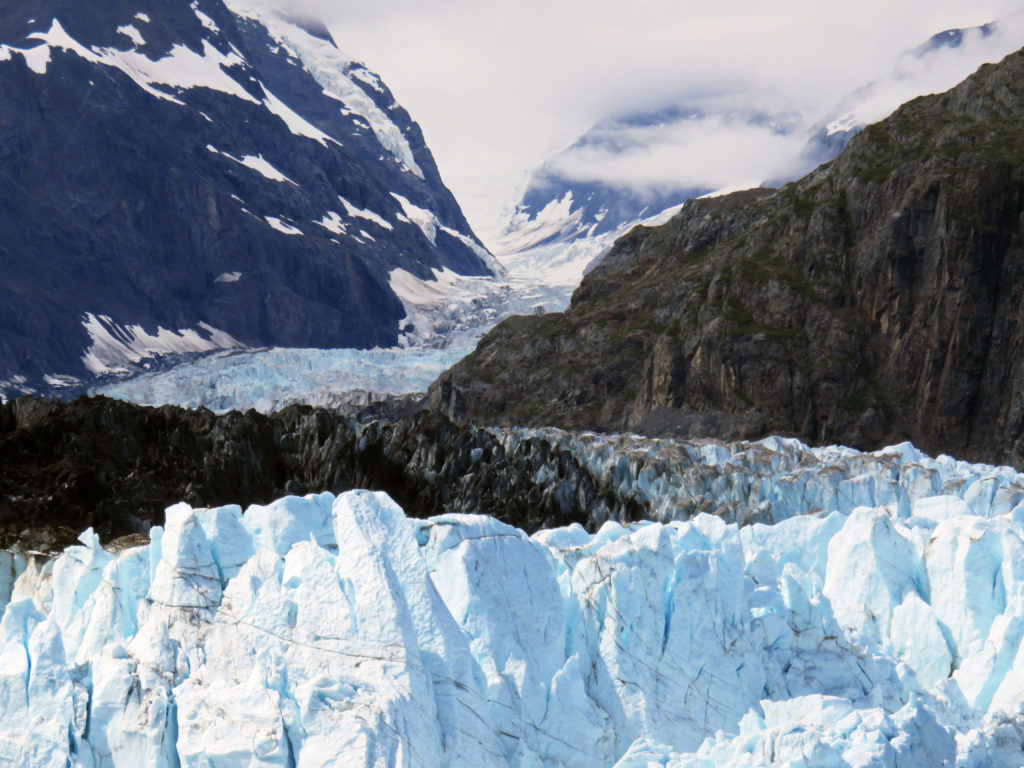
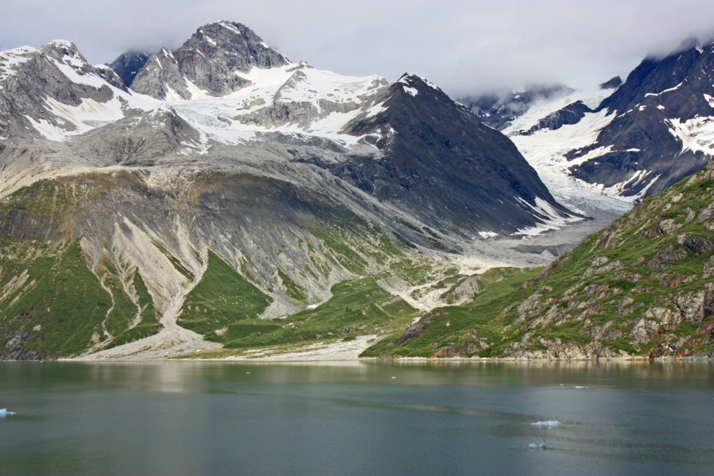
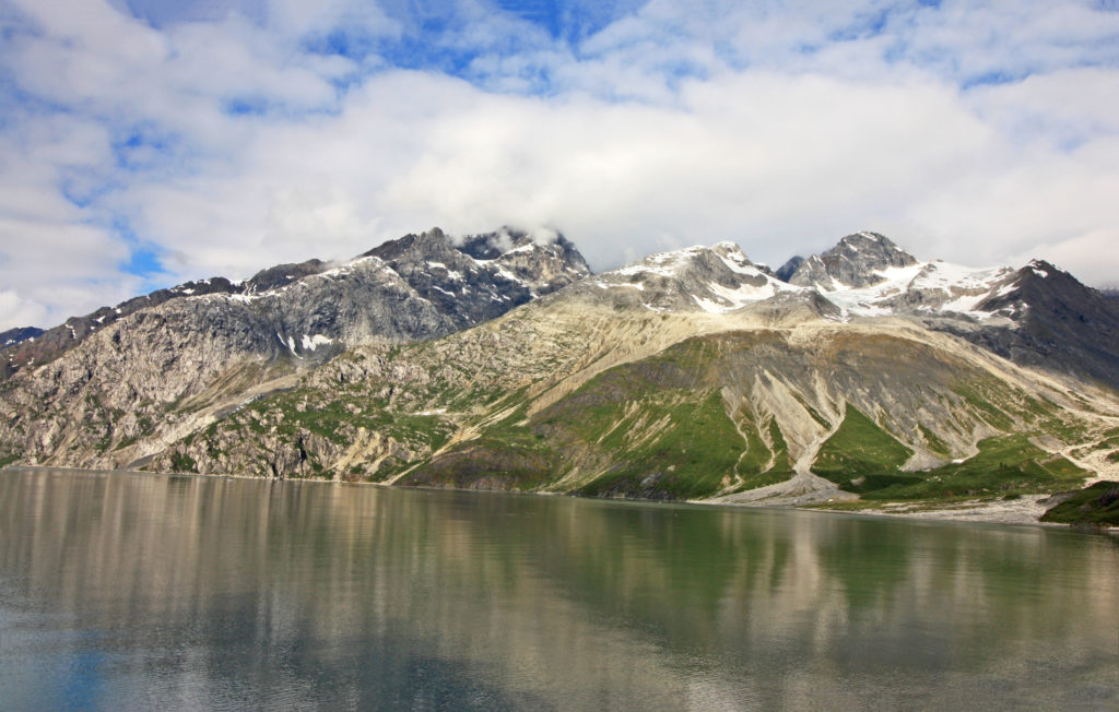
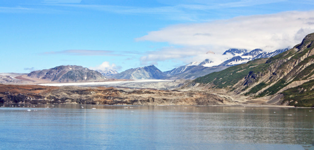
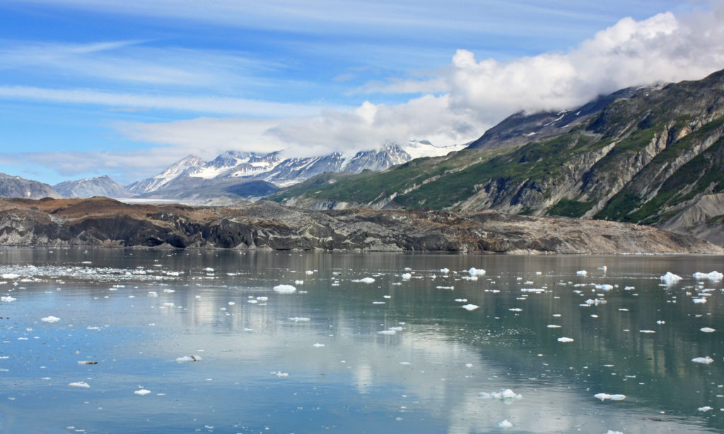
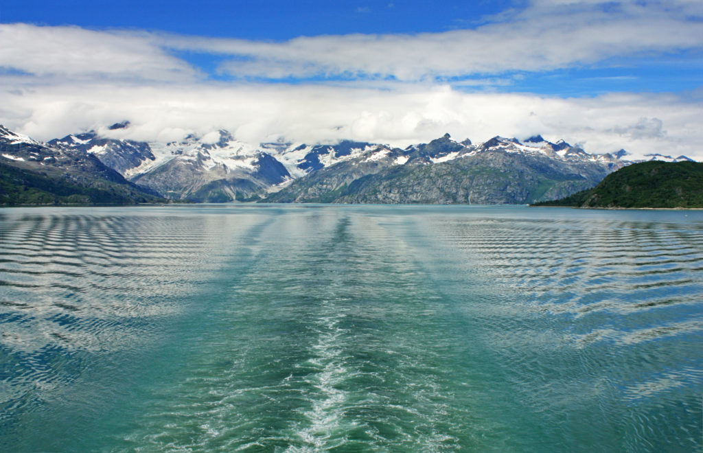
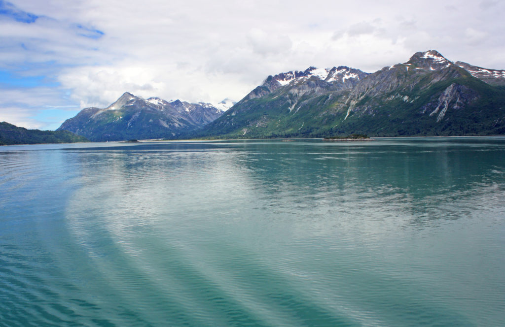
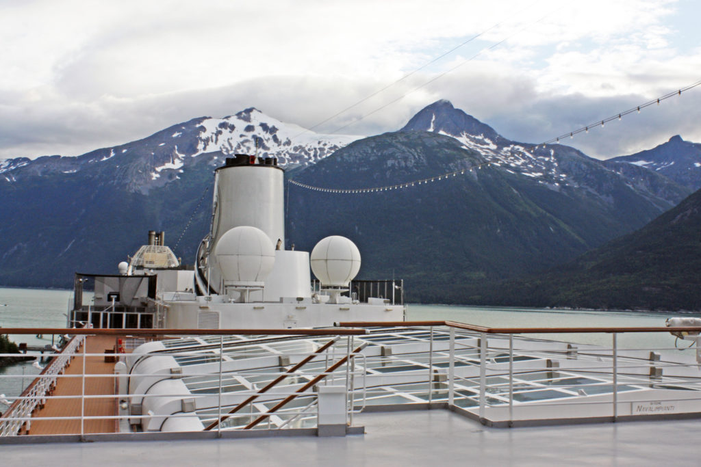
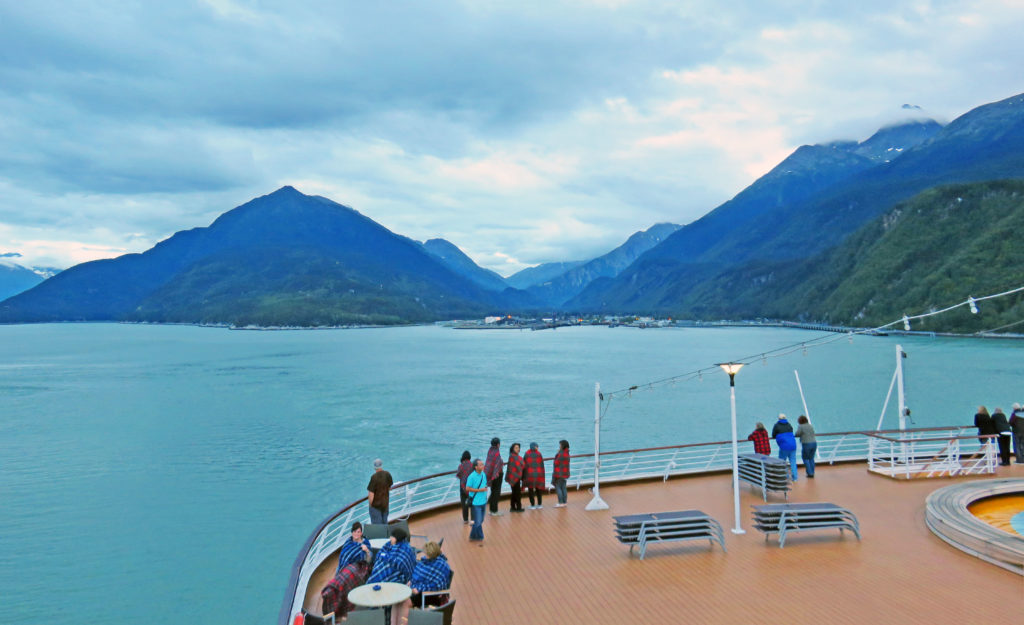
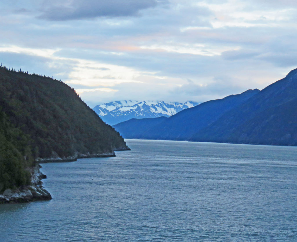
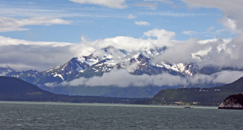
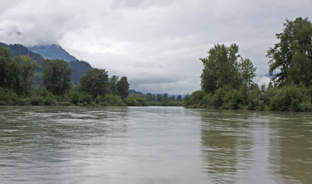
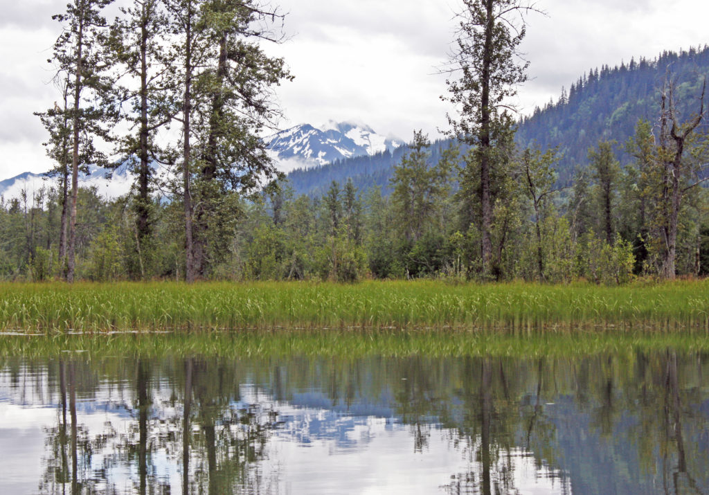
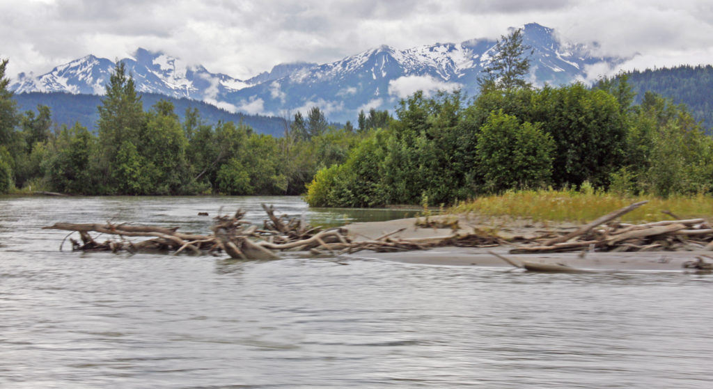
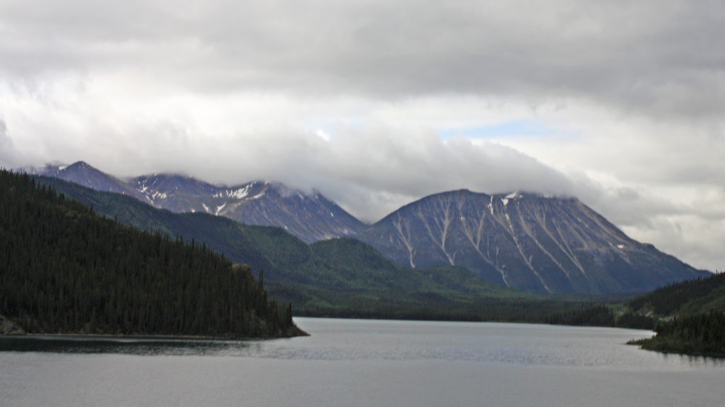
Cliffs standing tall along Eyjafjordur, Iceland’s longest fjord.
We are chasing after dolphins and whales in the chilly blue waters.
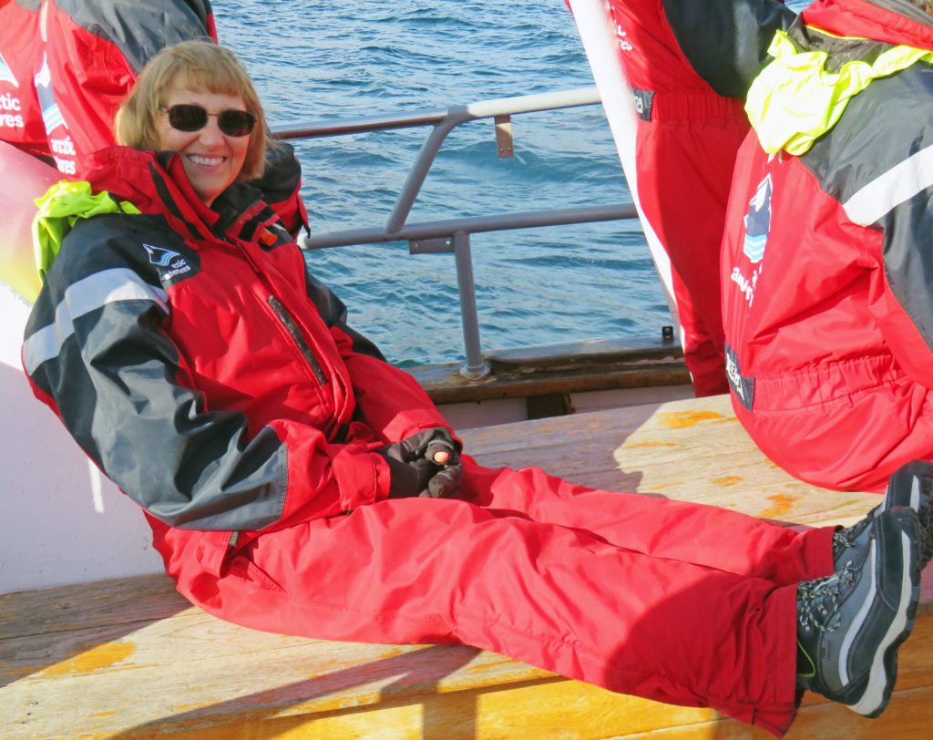
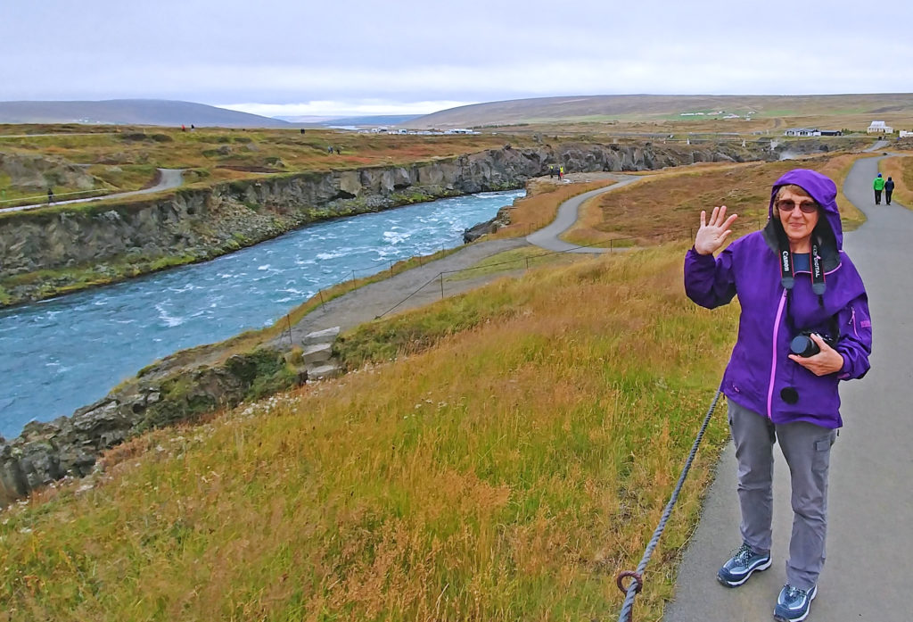
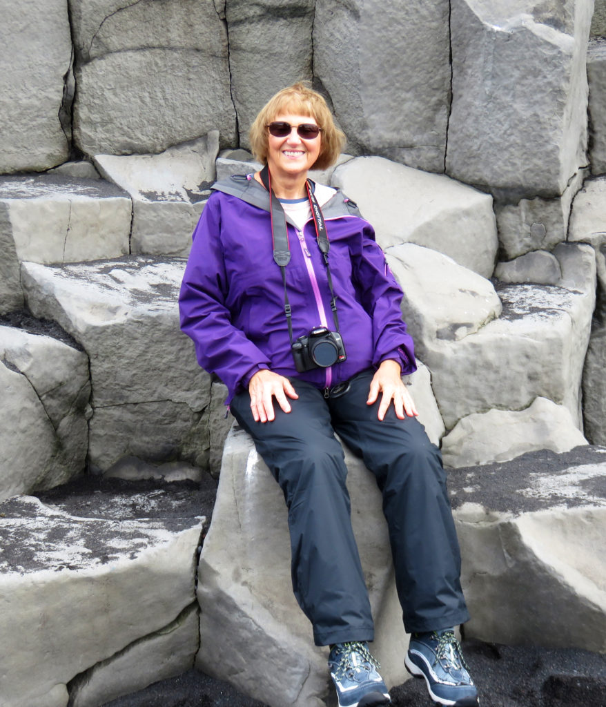
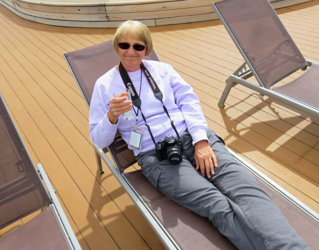
Kathy basking in the sun on a brisk day in northern Iceland.
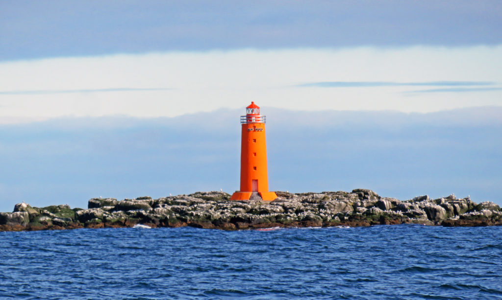
A colorful lighthouse on the island of Hrisey.
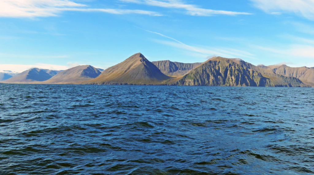
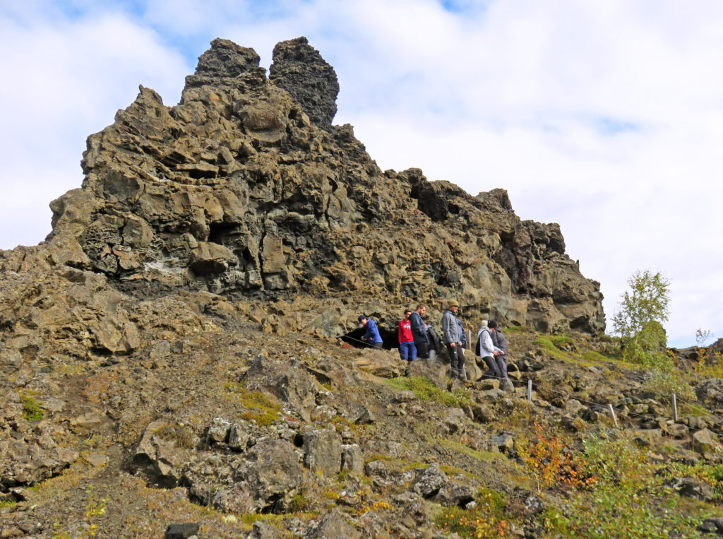
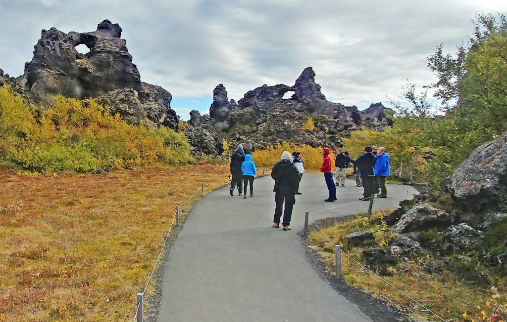
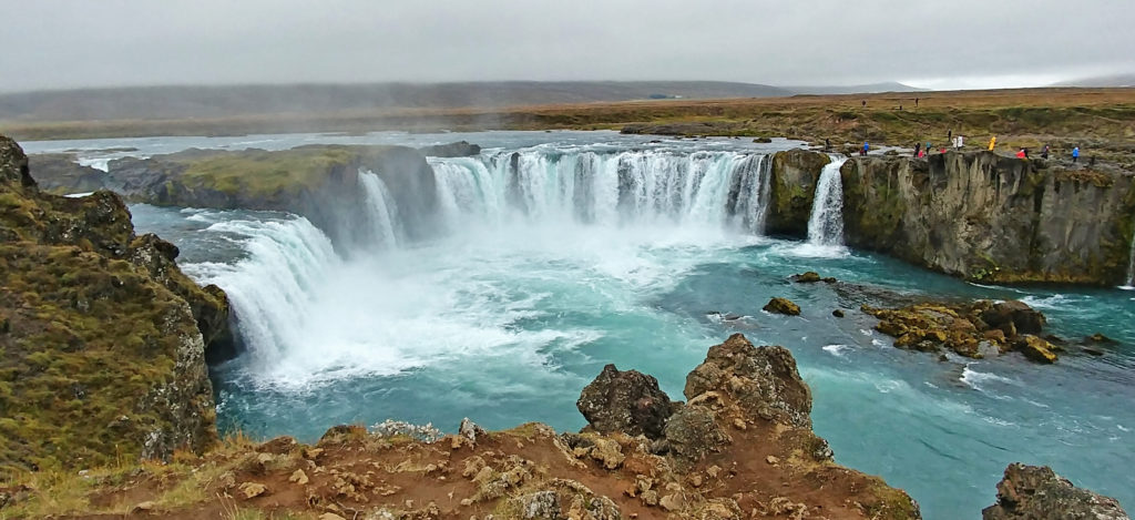
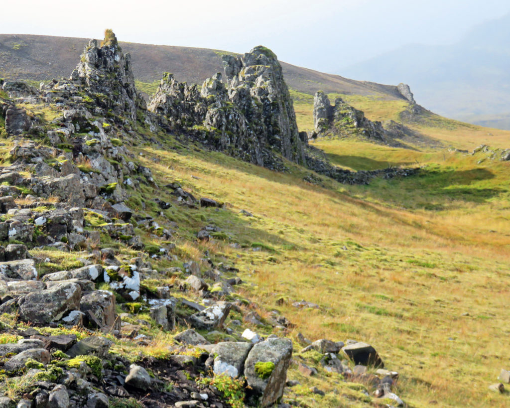
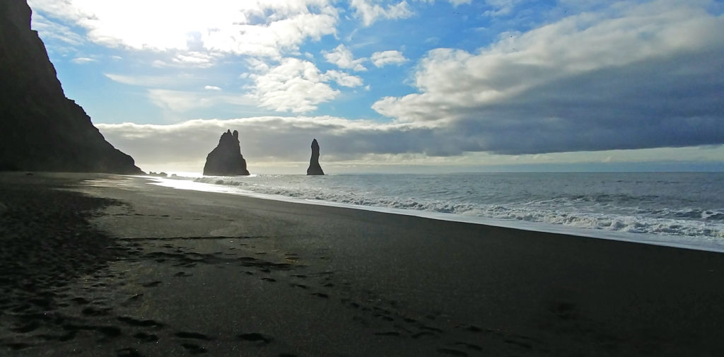
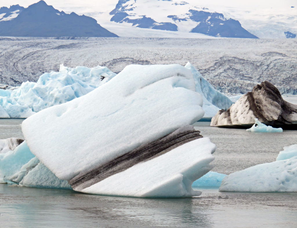
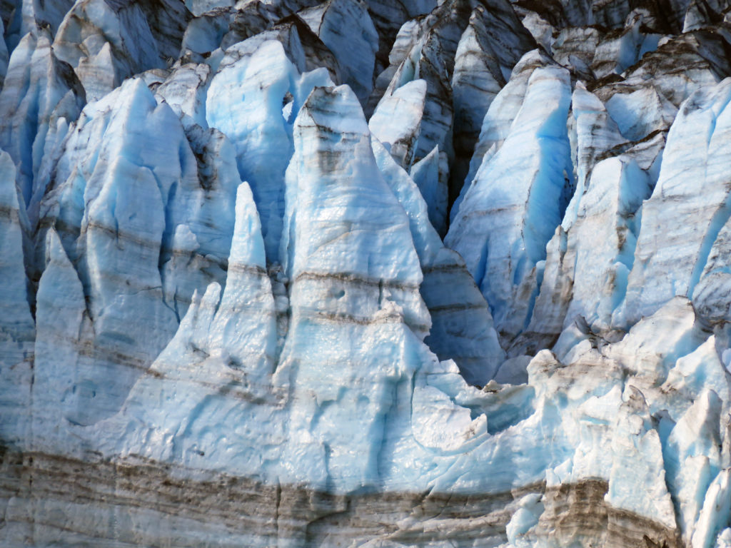
More amazing geological formations along Eyjafjordur fjord.
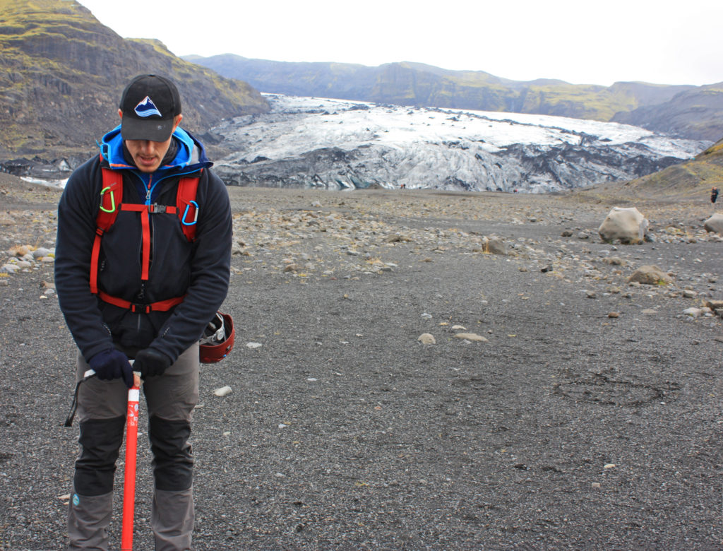
Our tour guide (standing at the front of the boat) enjoying his time at sea.
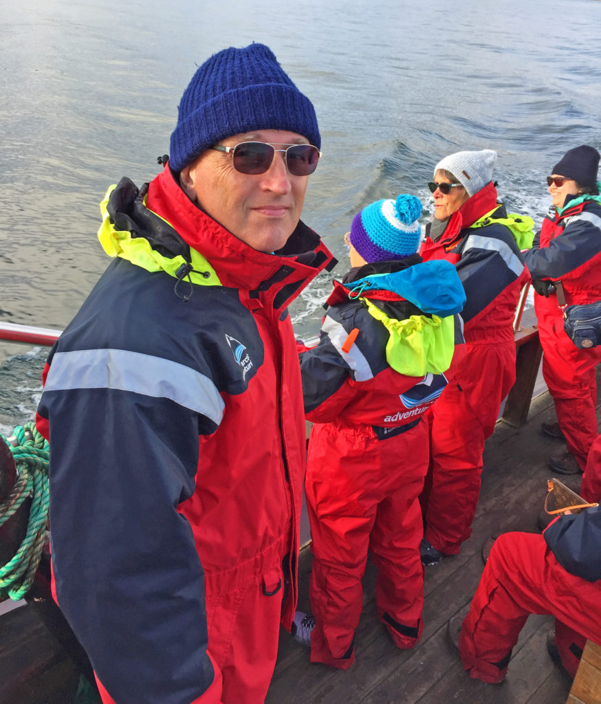
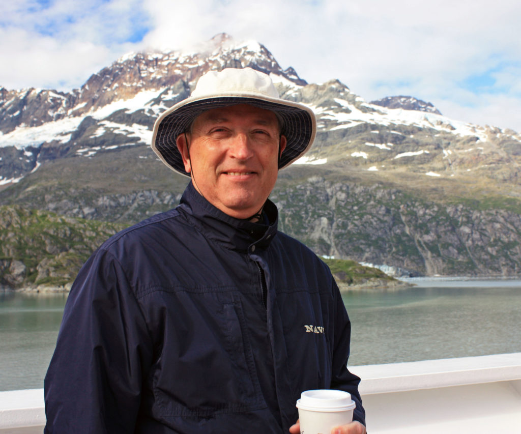
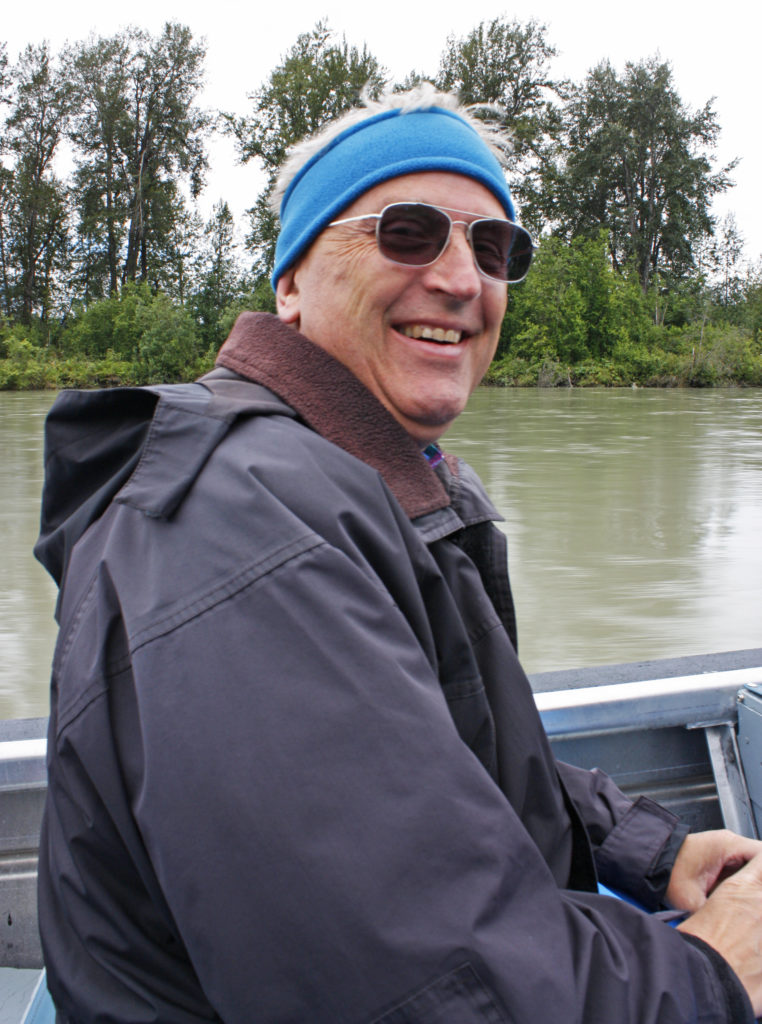
Captain Rodger on the look out for whales and submarines!
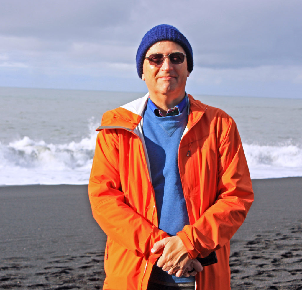
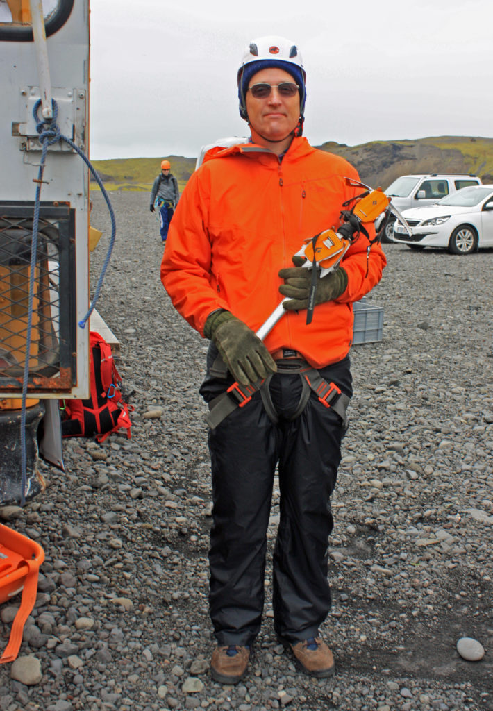
Rodge enjoying his Icelandic cruise.
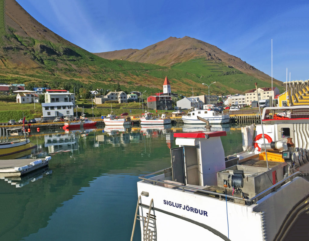
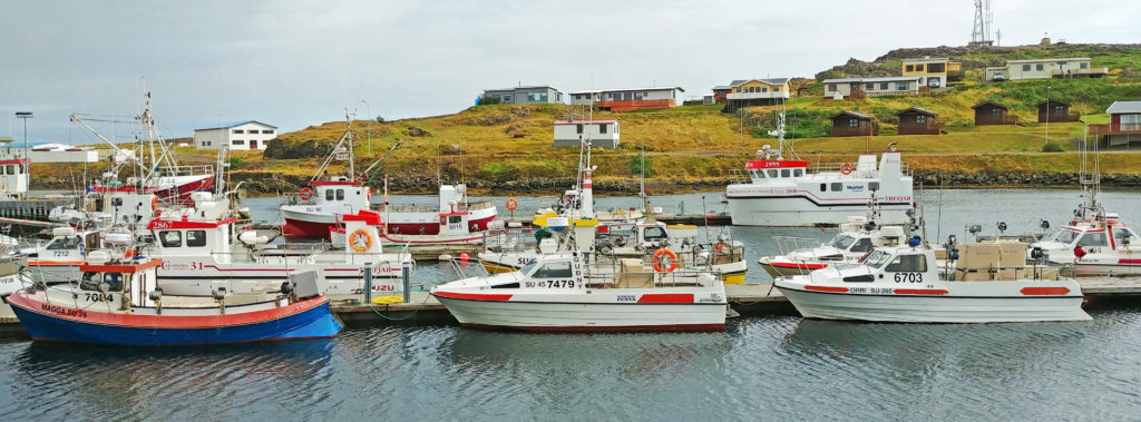
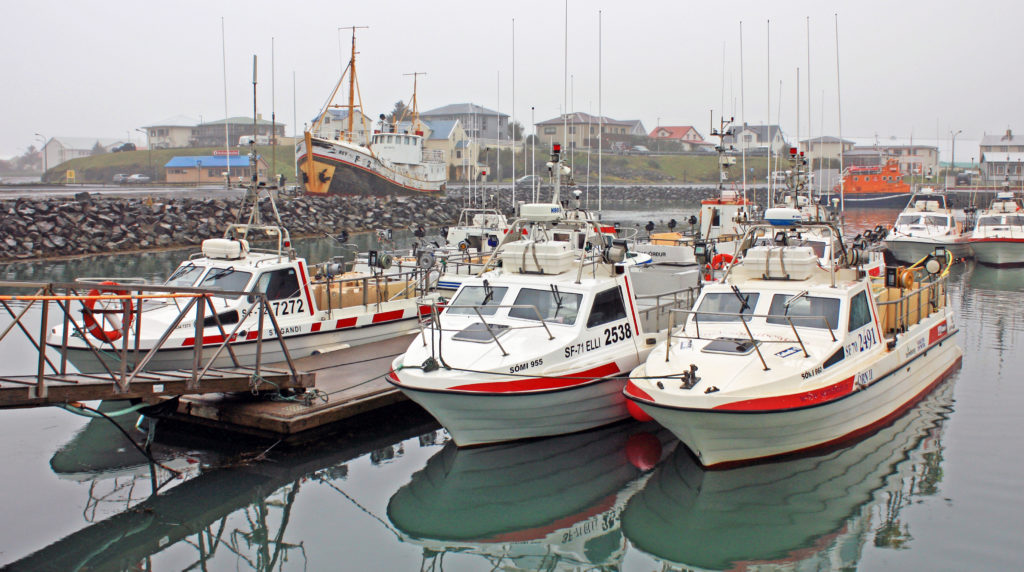
We take a lunch break in the small fishing village of Siglufjordur.
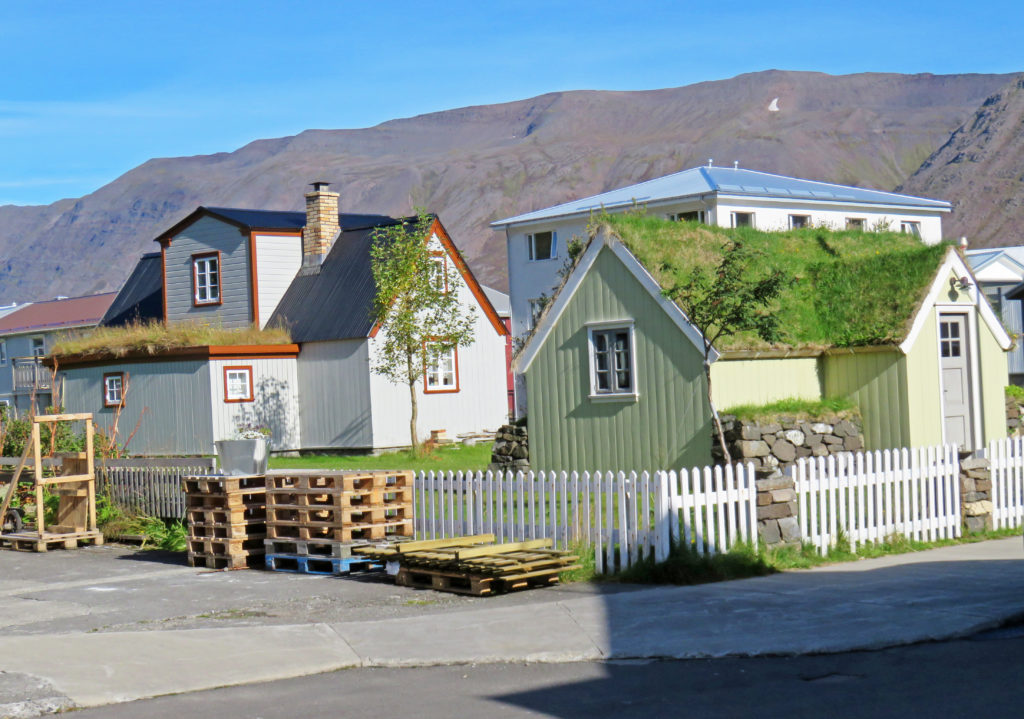
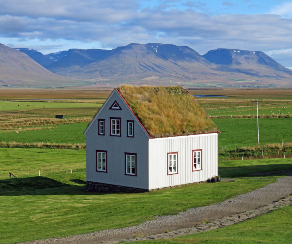
Houses displayed sod roofs in a quiet neighborhood of Siglufjordur.
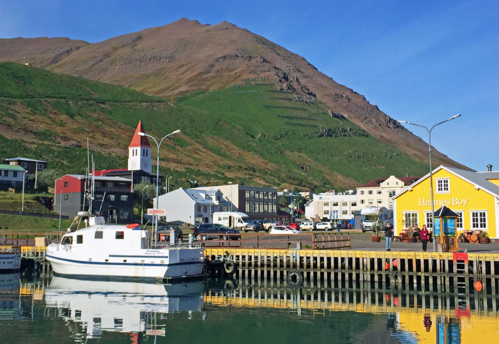
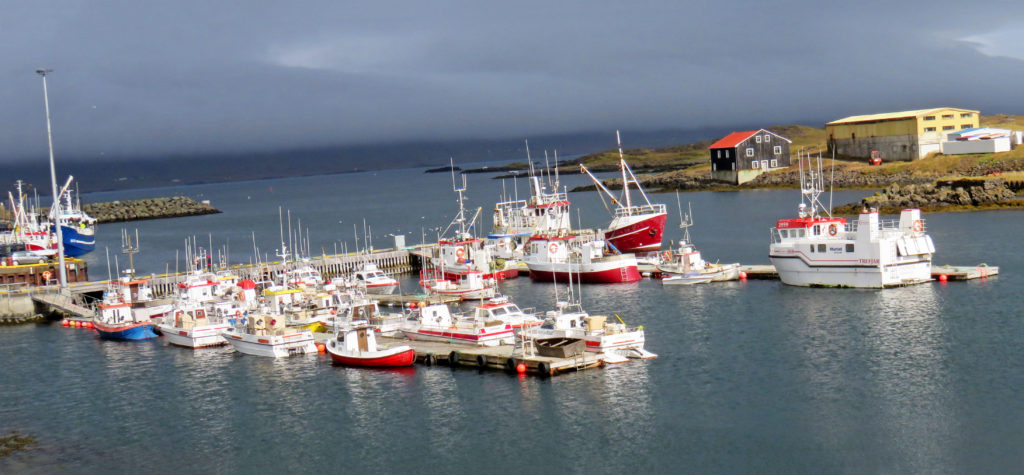
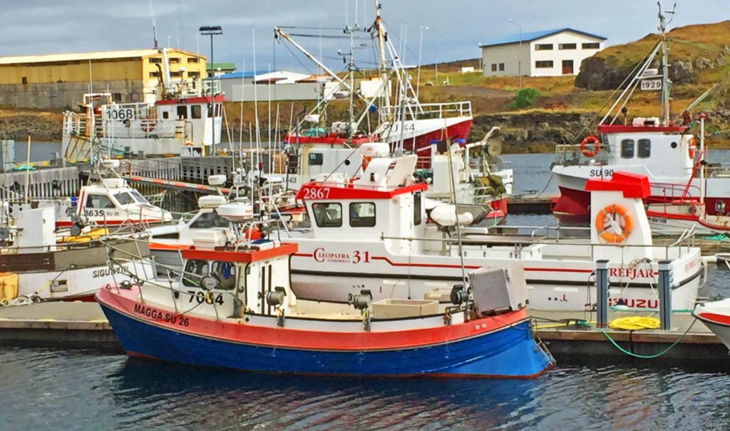
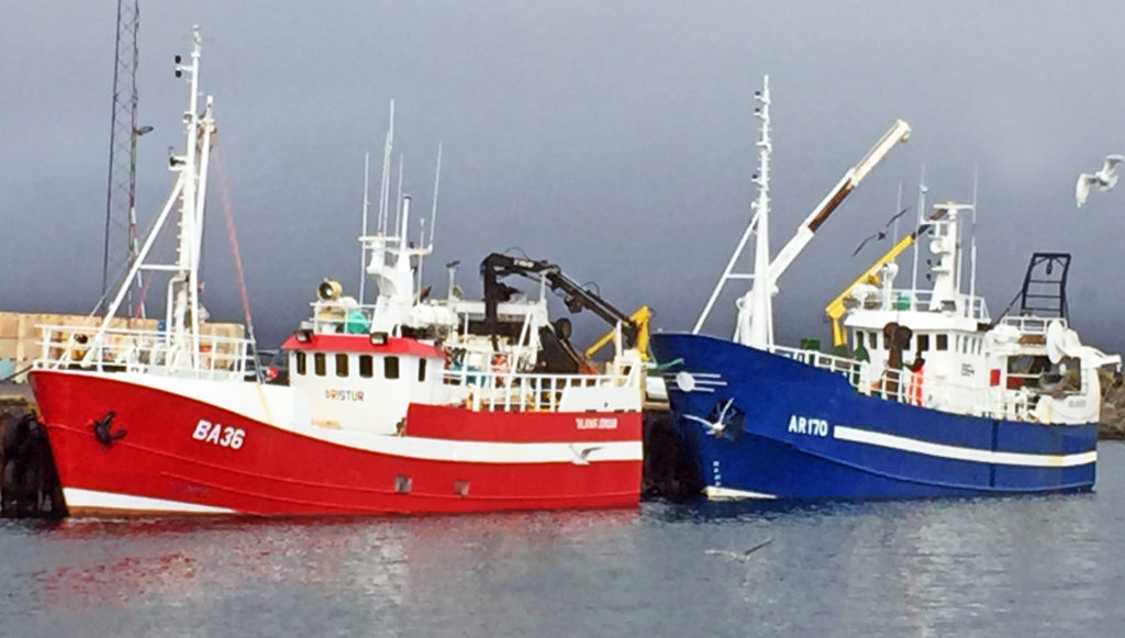
The village used to be the largest herring fishing port in Iceland.
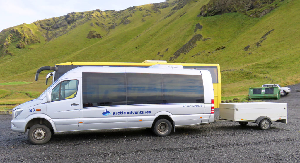
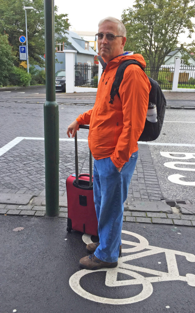
Tourists waiting for their van.
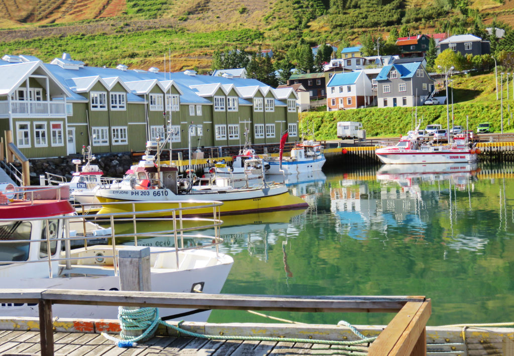
Modern housing units overlook the harbor.
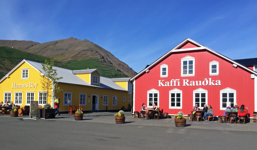
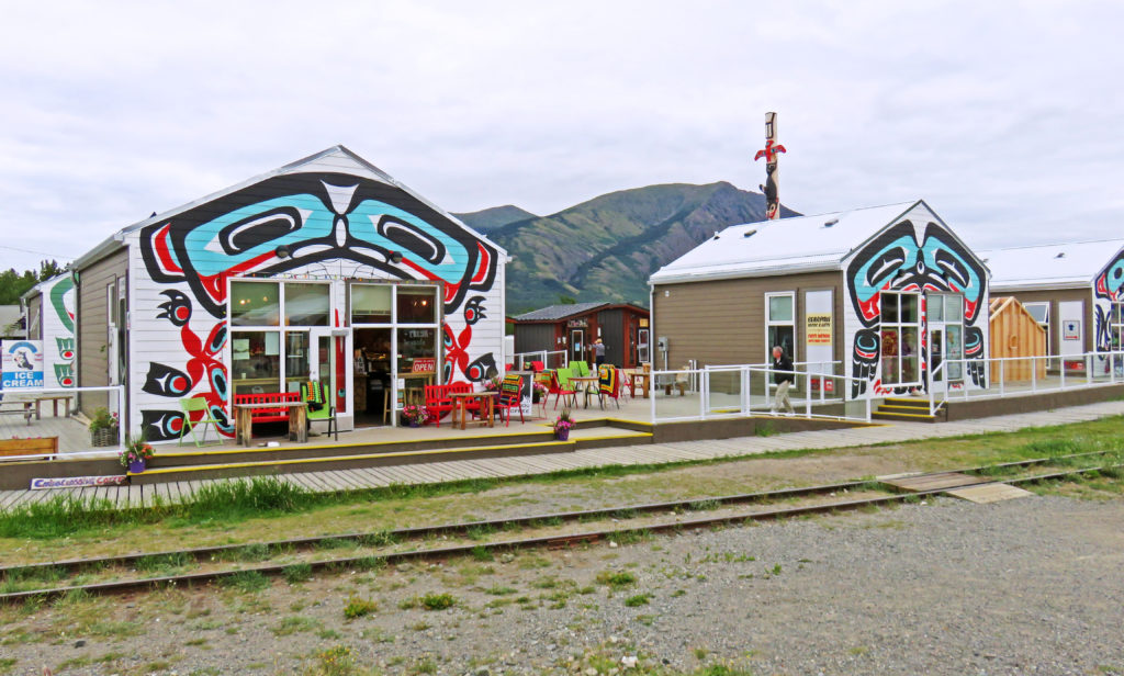
A restaurant shopping complex in Siglufjordur.
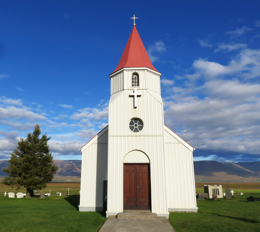
A church built in 1926 is on display at Glaumbaer Farm, a historic site.
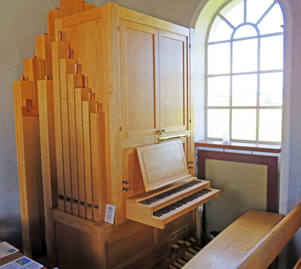
A beautiful wooden pipe organ in the rear of the church.
People lived in the Glaumbaer turf farmhouse until 1947.
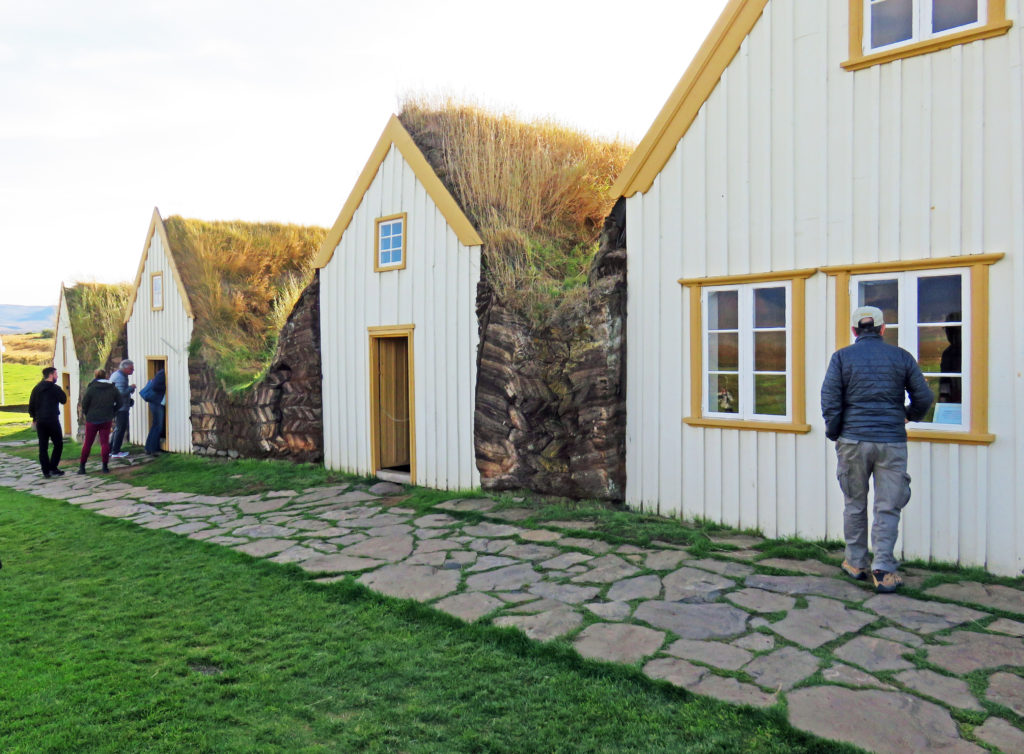
Houses were made of timber, stone, and turf. They originally had no windows.
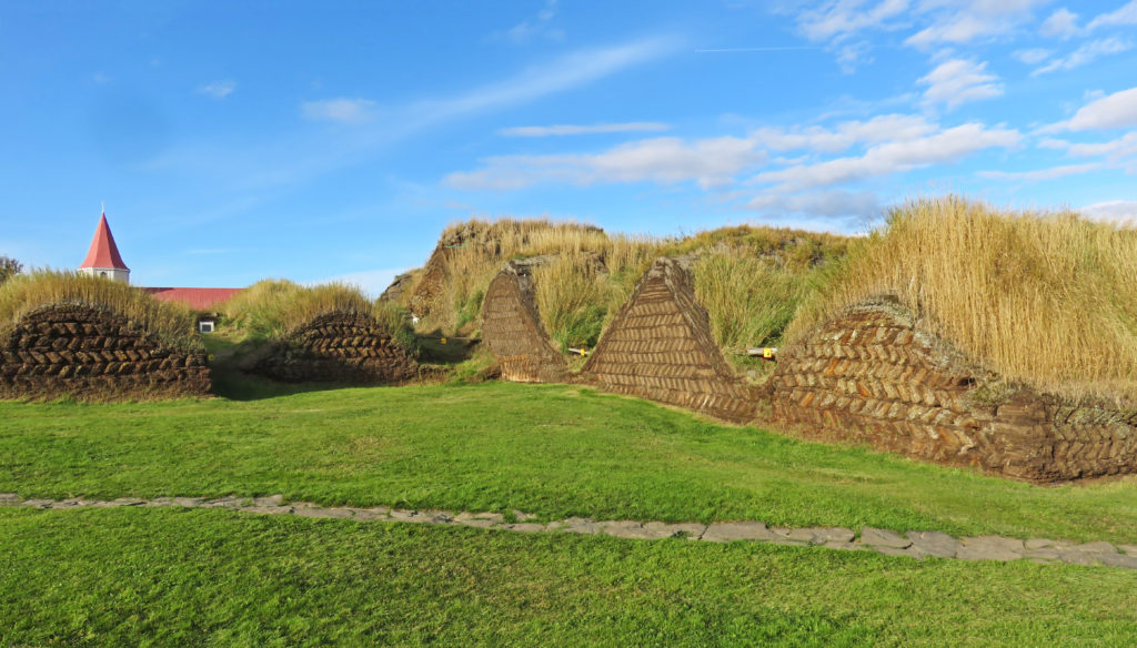
The back of a farm house with the turf laid out in a herringbone pattern.
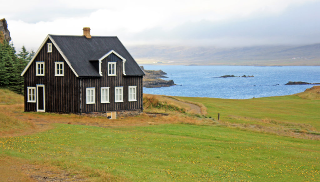
This 1884 timber house shows the style that took over following the turf houses.