Exploring the Eastfjords!
The small fishing village of Djupivogur (pop. 452) in the Eastfiords.
September 4, 2018
We were greeted by a drizzly morning. At 9 a.m. we got underway with our fearless leader and our seventeen other tour mates. Sitting in front of us was a newly engaged young couple from Richmond, Virginia who were medical students. There were a few other U.S. citizens in the group including a retired Navy supply officer who had served on one or two submarines. Others included a quiet elderly oriental couple from. Australia, a married couple from Malta, a lone Chinese woman, an older man from Germany, a very pleasant Chinese-American woman from Washington, D.C., and two groups of young friends. It proved to be an outstanding group of people with whom to tour. All were very nice and sociable and everyone was always on time.
Today was a leisurely day with many stops as we worked our way around the coast to the East Fjords of Iceland. We had to forgo a scheduled inland hike to Hengifoss waterfall because the area was too muddy and wet for hiking. We left Hofn and traveled through a short tunnel and continued in a northeast direction on the Ring Road (Route 1). We drove through many small fishing villages containing very few tourists compared to the “Golden Circle” and “South Coast” areas we visited during the first days of the trip. Only 3.2% of Iceland’s population lives in the East Fjords.
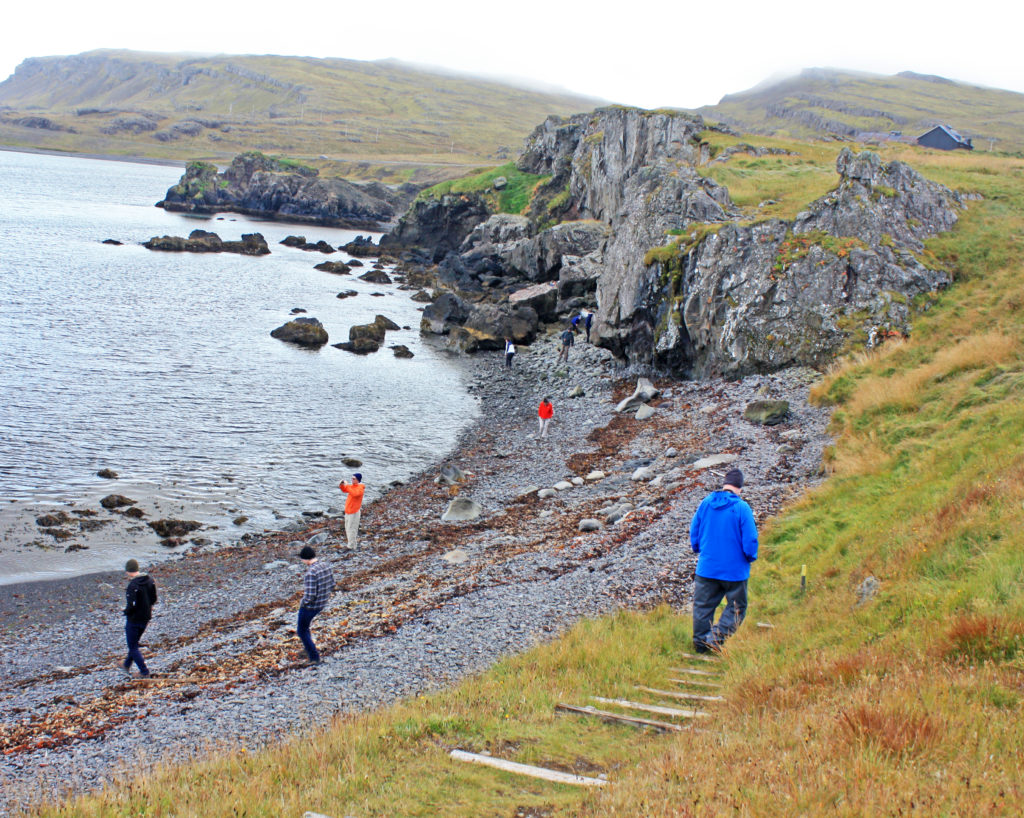
Many fishing villages had monuments to the fisherman who never returned. One village had a scale model of the solar system along a hiking path near their harbor. As we headed up the East coast we rode by dozens of small waterfalls cascading down hills, some comprised of dozens of steps. We stopped at a seashore beach where tall rock formations were scattered about. Around 10 a.m. the sun finally broke through the clouds and we were treated to a beautiful rainbow!
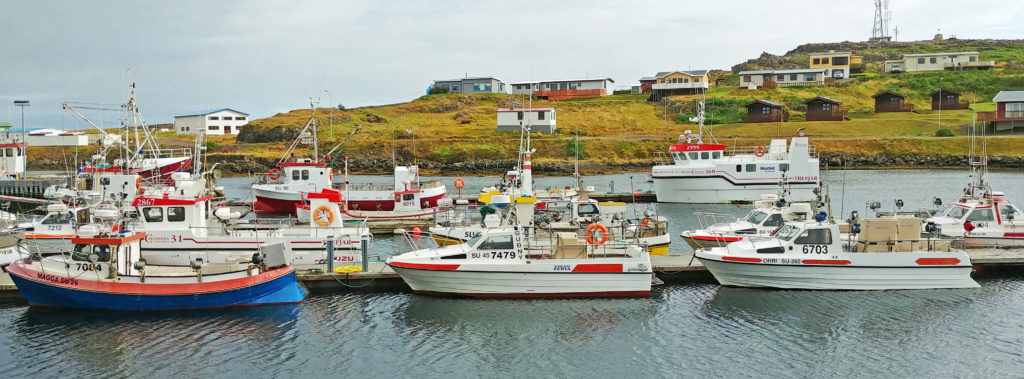
Soon Route 1 turned into a twisting, turning road flanked by the coast on one side and majestic mountain peaks on the other. We were weaving in and out of the fjords and Djúpivogur, the southernmost town in the East Fjords, would be our next stop. Rodge and I treated ourselves to hot chocolate and a muffin on our break. We walked around the small fishing village and took many photos of the picturesque harbor.
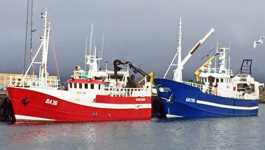
The small harbor was very well protected from the sea. Moored to the piers were a mix of one-man fishing boats and larger long-line fishing vessels that fish year-round. Our tour guide took us to a second harbor in the town where very interesting artwork was mounted on a portion of its perimeter. It consisted of thirty-four stone eggs on pedestals, one for each of the bird species found in town. They represented an amazing effort since the shape, color, and relative size reflected the unique characteristics of each species’ eggs.
The next place we visited was Teigarhorn farm, a world-famous site for zeolites. Zeolites are minerals that are usually created in the pores of basaltic rock and at Teigarhorn they were eroded from the cliffs on the coastline by the sea. The farm was designated a natural monument and nature reserve to preserve and maintain the natural conditions, especially in zeolite-rich areas, as well as to allow public access to the area. It is strictly prohibited to disturb or remove zeolite minerals, whether they are embedded in rock or lying loose. We hiked around the farm and down the cliffs to the sea. At the bottom of the cliffs we found the whole area covered with zeolites. There was a small mineral museum on the property but it wasn’t open for a tour. It was very windy and cold by the water but the views were amazing.
We continued our tour around the fjords until we came to the small town of Budir, also referred to as Faskrudsfjordur. Here we traveled through a 3.5-mile tunnel to Reyoarfjordur instead of traveling around a long fjord. This was one of several multi-mile tunnels that were scattered around the island’s perimeter. Most tunnels were driven through the volcanic mountains separating the fjords. Our guide remarked that until the tunnels were built, many of the fishing villages in the fjords were very isolated and reachable only by boat or a difficult over-mountain passage.
What made these dimly lit two-way traffic tunnels unusual, particularly for the non-native driver, was that they were only one lane wide. There were no traffic signals at either end to control entry. Traffic enters continuously in both directions. Inside, the tunnel widens to provide a turnout about every 200-300 yards for traffic heading counterclockwise around the island (the direction our tour was heading in). There were flashing lights immediately before each turnout to warn of oncoming traffic – a necessity since the tunnels were highly curved and the sight lines were typically only about 100 yards before the turnouts.
We ended up in the resort town of Egilsstadir, the largest community in northeast Iceland. The town was located at the north end of Lake Lagarfljot some distance from the sea. Our hotel accommodations were very modern. Our room key had to be inserted into a device inside the room to activate the master power switch for the entire room. At 6:30 p.m. we could have walked out in town to find a place to eat dinner but elected to have dinner in the hotel. We had had another great day along the Ring Road exploring the East Fjords. Tomorrow we would be heading to Akureyri in North Iceland.
Bless,
Kathy
Boats sitting in the harbor of a small fishing village.
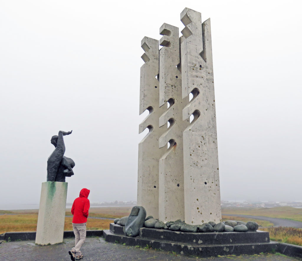
A monument to the fishermen who never returned.
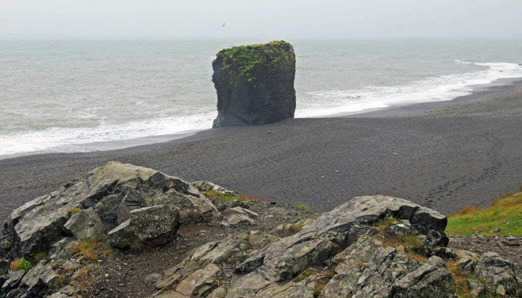
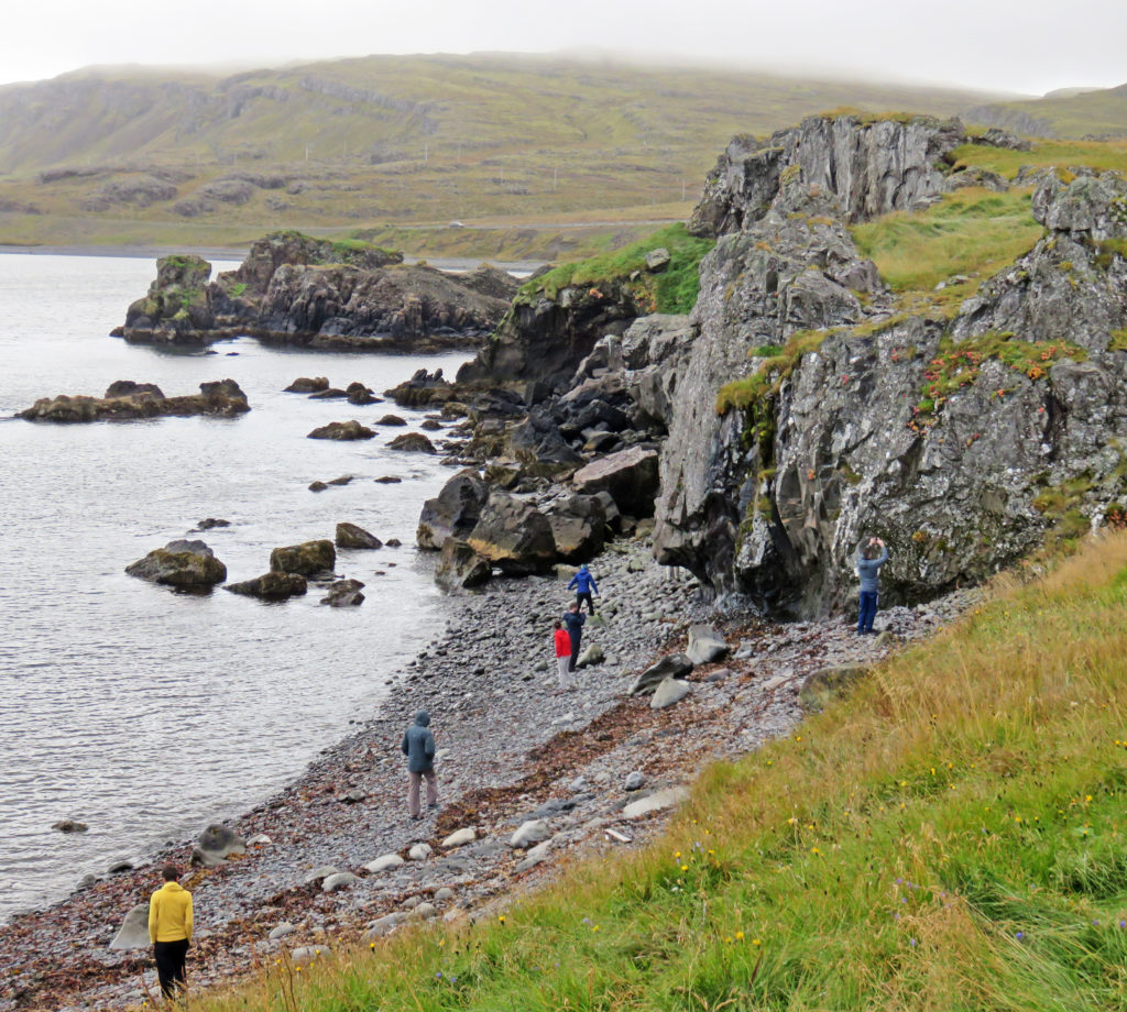
A seashore beach where tall rock formations are scattered about.
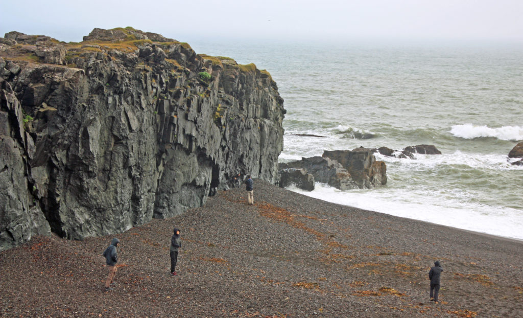
More huge rock formations along a beach.
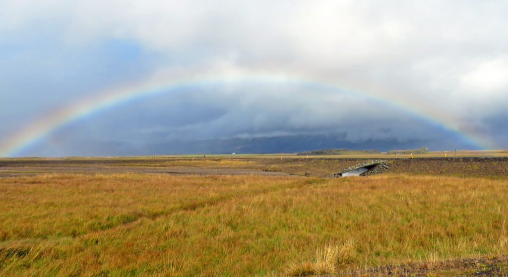
The sun broke through the clouds and we were treated to a beautiful rainbow.
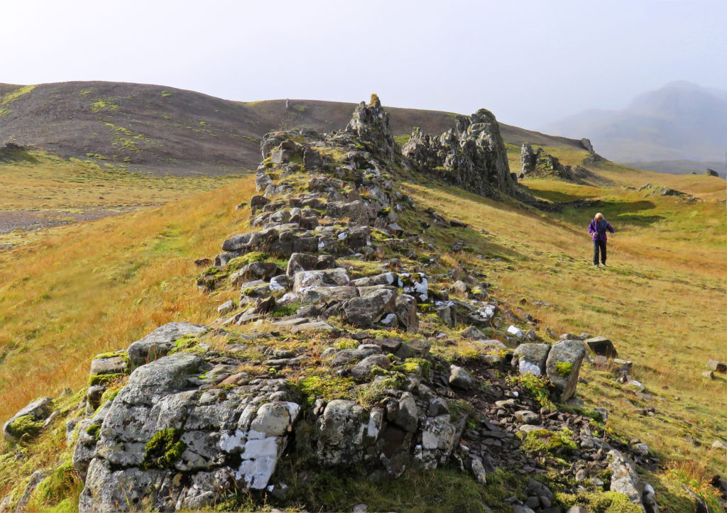
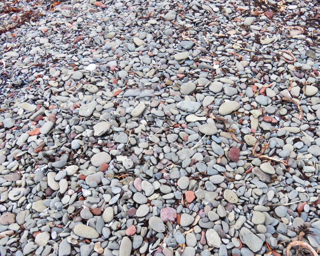
Small volcanic rock formations near our rest stop.
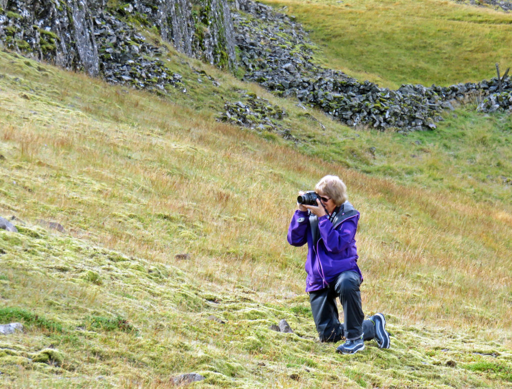
Kathy taking a photo.
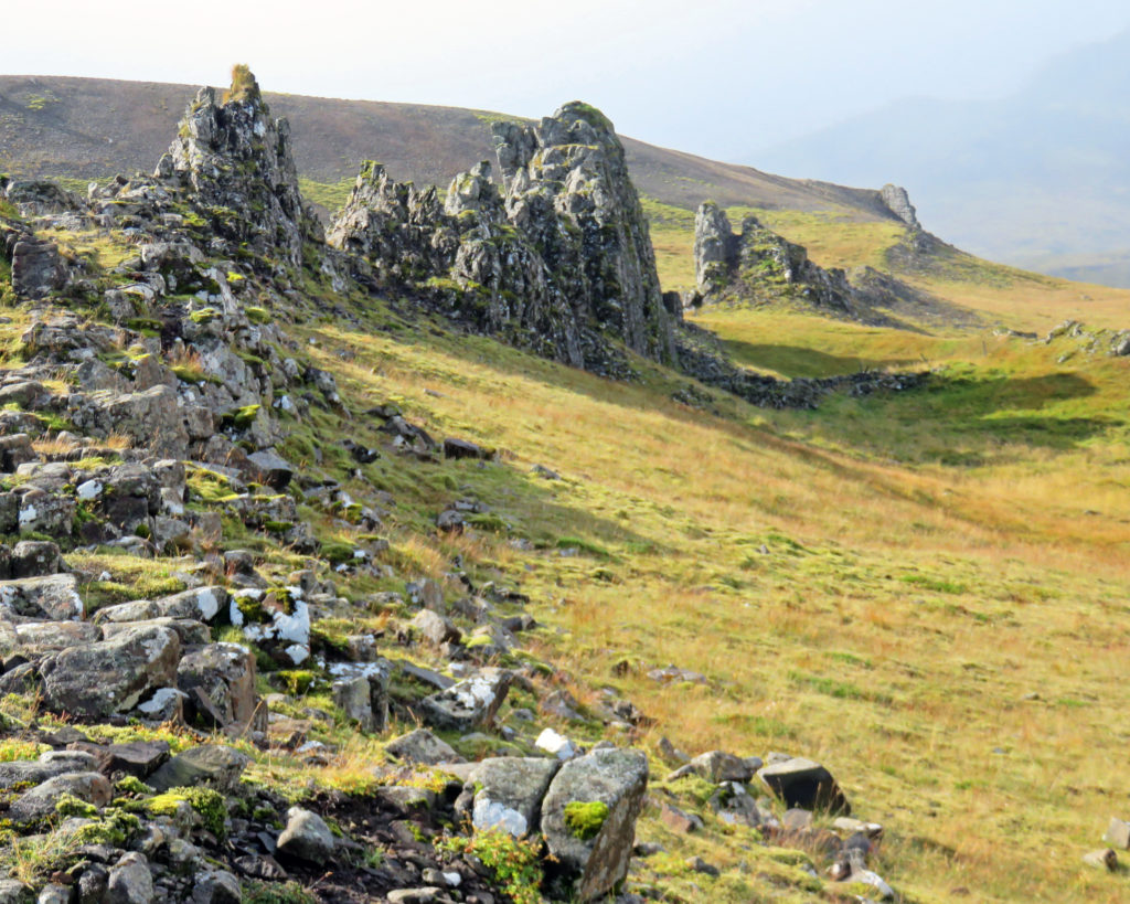
Large rock spires jut out of the land.
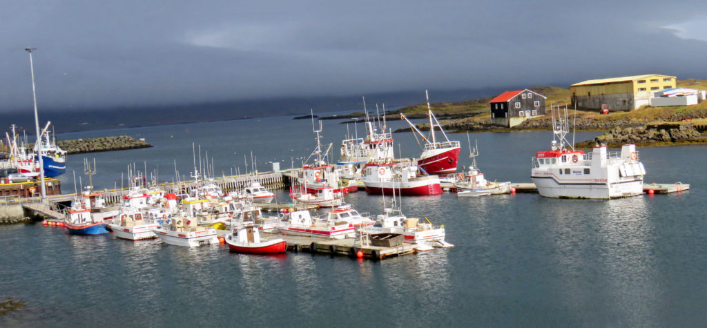
Boats sitting in Djupivogur’s protected harbor.
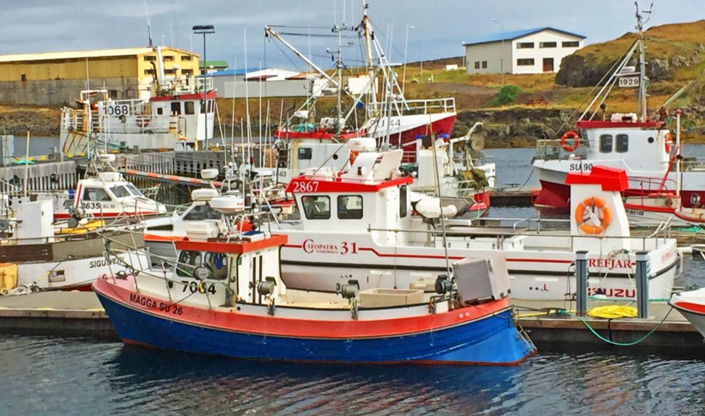
One-man fishing boats and larger long-line fishing vessels moored to piers.
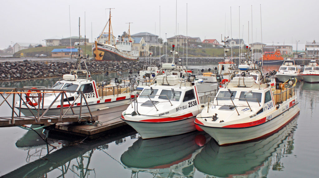
Fishing boats shrouded in fog.
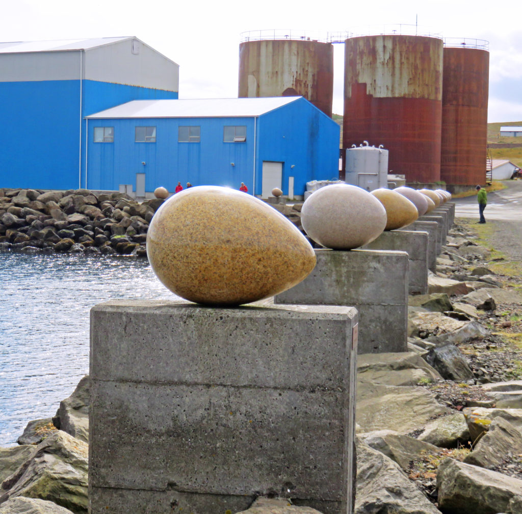
Unique seaside artwork in Djupivogur harbor.
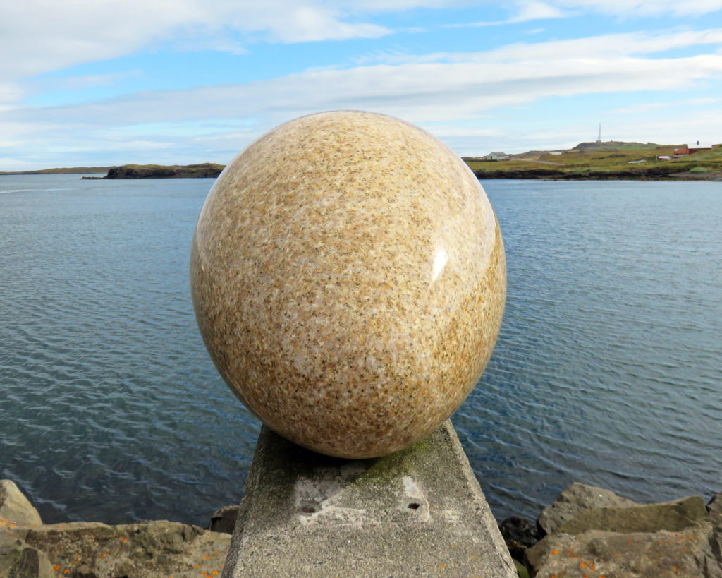
One of the 34 stone eggs on pedestals, one for each of the bird species in town.
The farm at Teigarhorn, designated a natural monument and nature preserve.
Walking down to the zeolite beaches at Teigarhorn.
At Teigarhorn the zeolites are eroded from the cliffs on the coastline by the sea.
Zeolites are minerals created in the pores of basaltic rock.
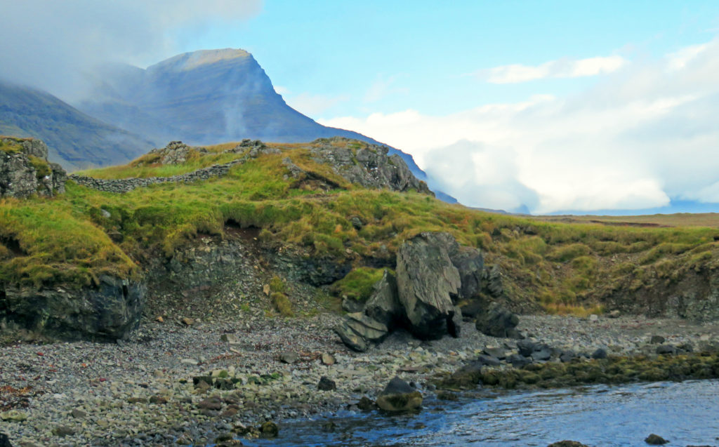
Looking up at the huge rock behind Teigarhorn.
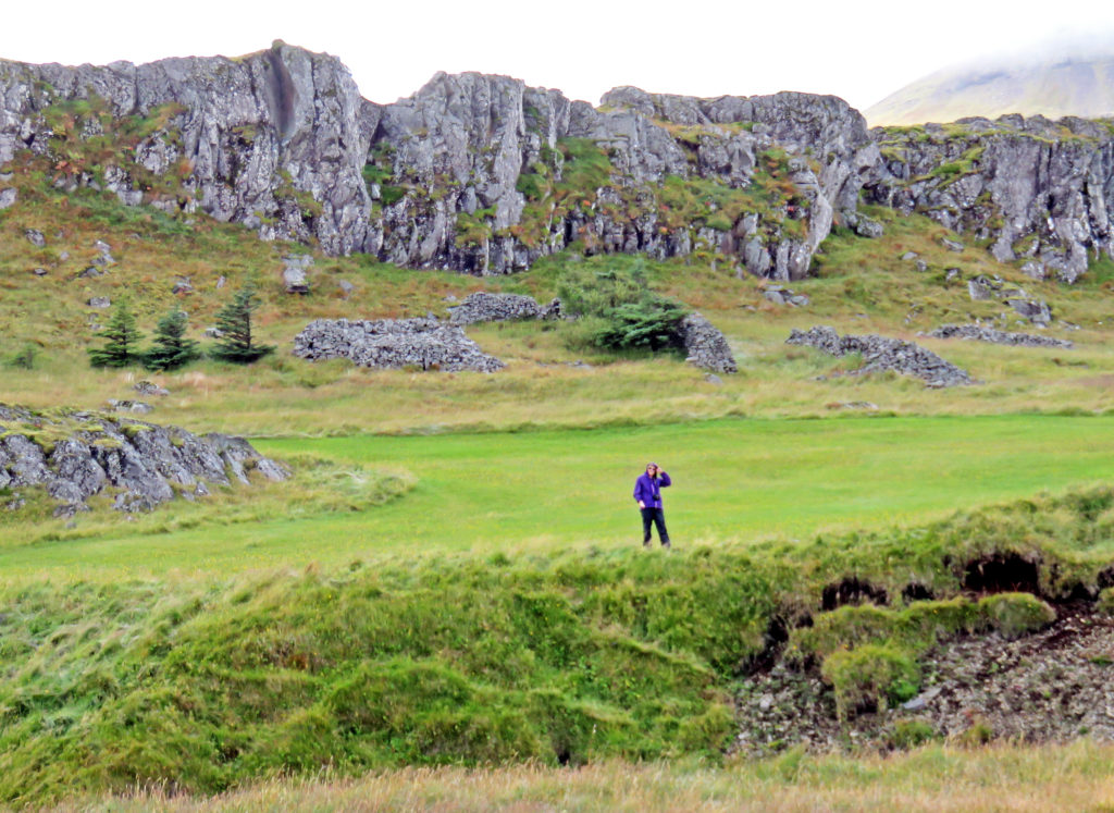
Kathy standing above the sea cliffs at Teigarhorn.
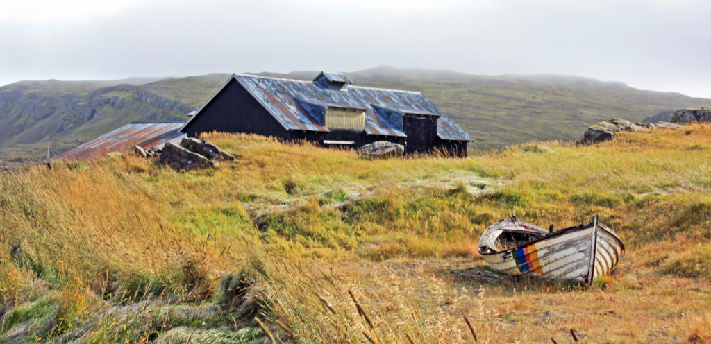
A derelict boat picture at Teigarhorn.


Leave a Reply