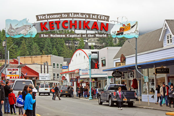
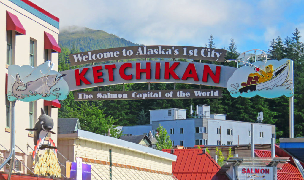
The welcome arch in downtown Ketchikan, Alaska.
July 31, 2017
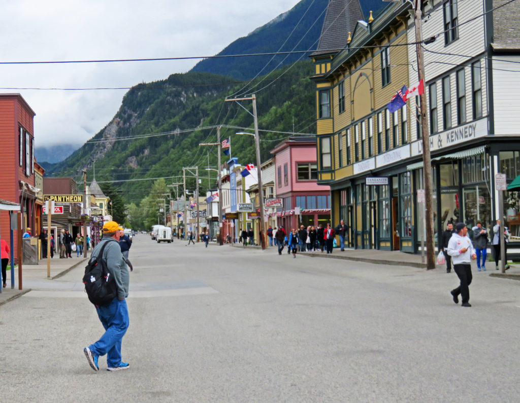
It was another glorious morning on the Volendam as we pulled into Ketchikan, Alaska. It was our second time visiting Alaska’s southernmost city. We waited for the mad rush ashore to subside then donned our backpacks and went exploring. On our way down the ship’s gangplank, we were greeted by Ketchikan’s welcome arch, which read, “Welcome to Alaska’s 1st City”. With a population of 8,050 in its city limits it was the first community one encountered while heading north along Alaska’s Inside Passage.
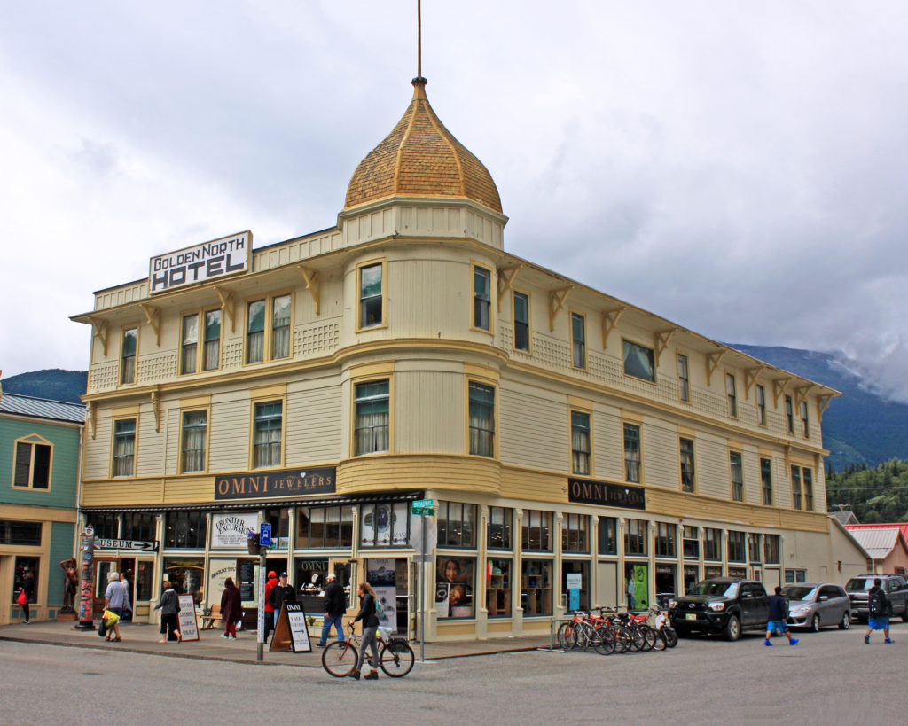
Our first stop on the waterfront was the Ketchikan Visitors Bureau where we acquired information on tours. We decided to explore Ketchikan on foot. Our journey began at the welcome arch in the touristy downtown area. We left the shops behind and headed north to Whale Park. The small park decorated with flower gardens created an inviting setting for the Chief Kyan Totem Pole, which was a replica of a pole raised in the 1890s for the Tlingit chief.
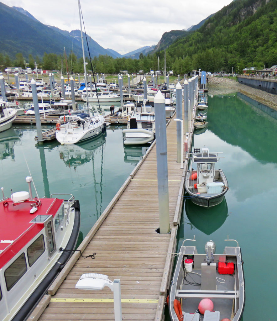
We turned right onto Stedman Street and walked along Thomas Basin Boat Harbor where we took in views of the waterfront. Soon, we arrived at Thomas Street, a wood-plank street built over the water. Thomas Street, lined with historic buildings, was once part of the New England Fish Company cannery.
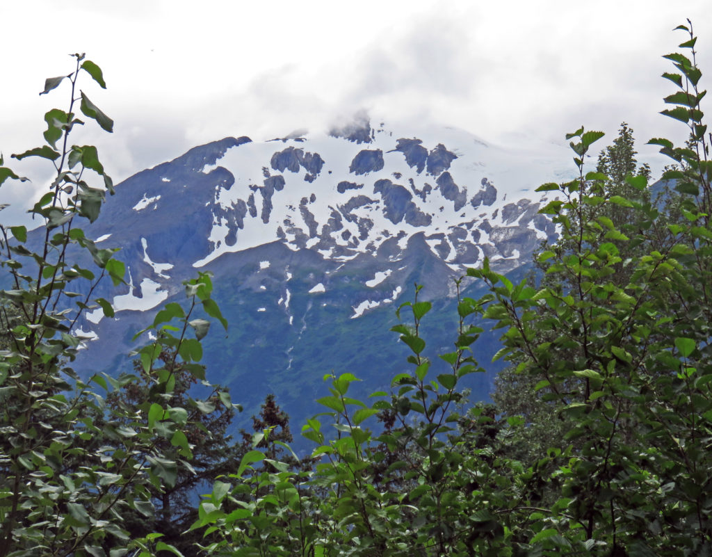
It was a gorgeous blue-sky morning to be out and about in Ketchikan. Our walking tour took us up Deermount Avenue to the Totem Heritage Center where an extensive display of weathered, original totem carvings can be found. Ketchikan has the largest collection of totems found anywhere in the world. There are over eighty poles scattered throughout the city. Some are ancient poles kept in climate-controlled protection, several are standing poles raised almost a century ago, while others are recently carved replicas.
We continued our walk until we arrived at Deer Mountain Hatchery situated along Ketchikan Creek. Deer Mountain is one of the oldest hatcheries in Alaska. The facility raises fish to supplement the wild stocks of Alaska salmon and rears approximately 500,000 juvenile chinooks annually. The hatchery backed onto a small but charming park, with ornamental ponds and paved paths.
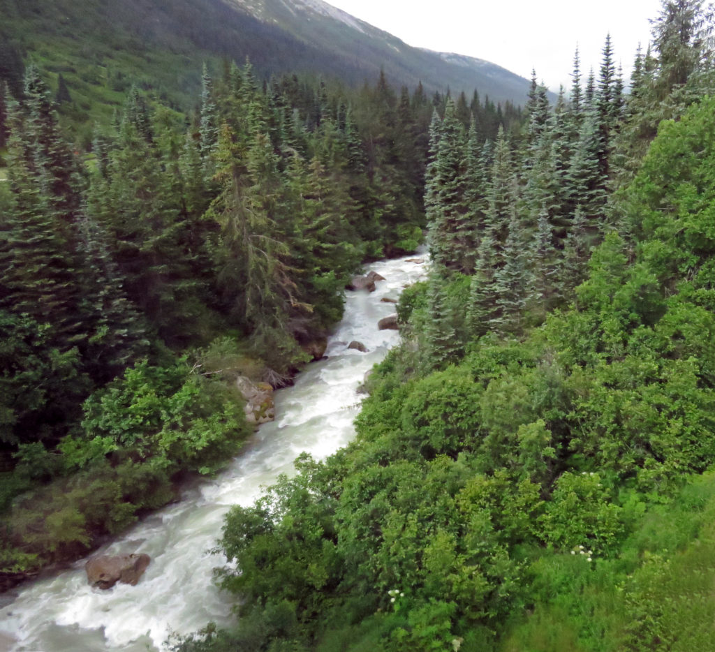
We explored the sights along Park Ave and followed Ketchikan Creek. We were on the lookout for salmon. In the summer months, the creek is one of the best places to see salmon gather by the thousands to spawn upstream. We stopped by a concrete fish ladder and watched salmon try to jump up rushing waterfalls to return to their native streambed. None appeared to be using the ladder, a series of pools arranged like steps that allow fish to travel upstream around the falls.
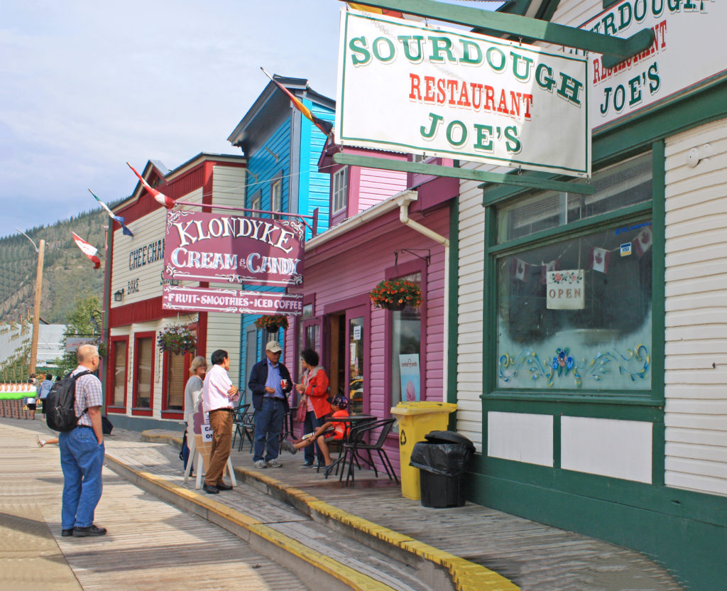
As we continued on our tour, we discovered another wooden walkway constructed along the shores of Ketchikan Creek. Historic Creek Street was built over the water because it was too difficult to blast away the rocky hills surrounding the creek. The antique boardwalk perched on wooden pilings used to be lined with bordellos that catered to anglers and bootleggers. Now it is one of Ketchikan’s best tourist attractions and a home to historic buildings filled with picturesque shops and restaurants.
We walked through the shops looking at craft items, tourist souvenirs and Alaskan gold jewelry. The most famous brothel, known as Dolly’s House, is still on the boardwalk and it has been preserved as a museum right down to the original furnishings. Instead of touring the house we opted to continue down the street for some ice cream. We boarded the ship at 3 p.m., retired our backpacks and relaxed on the open-air aft end of the Lido Deck.
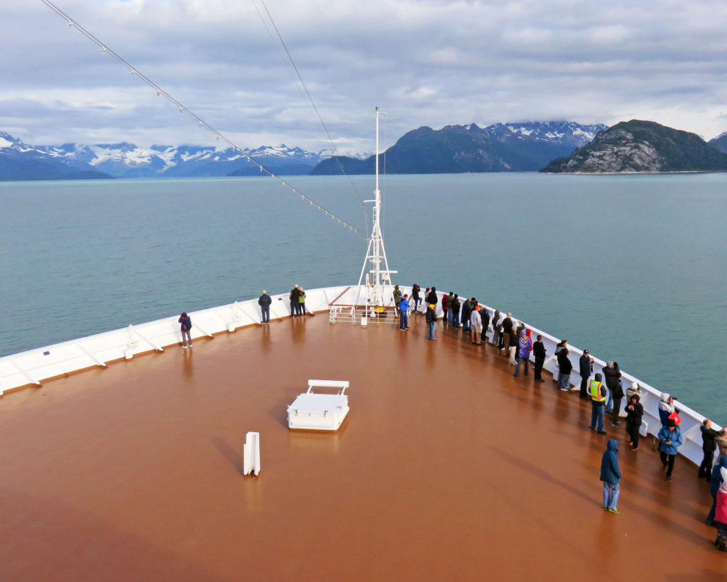
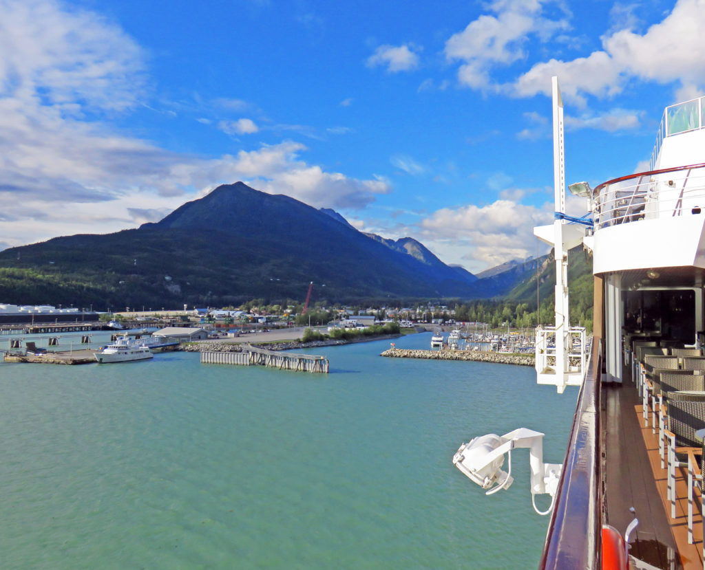
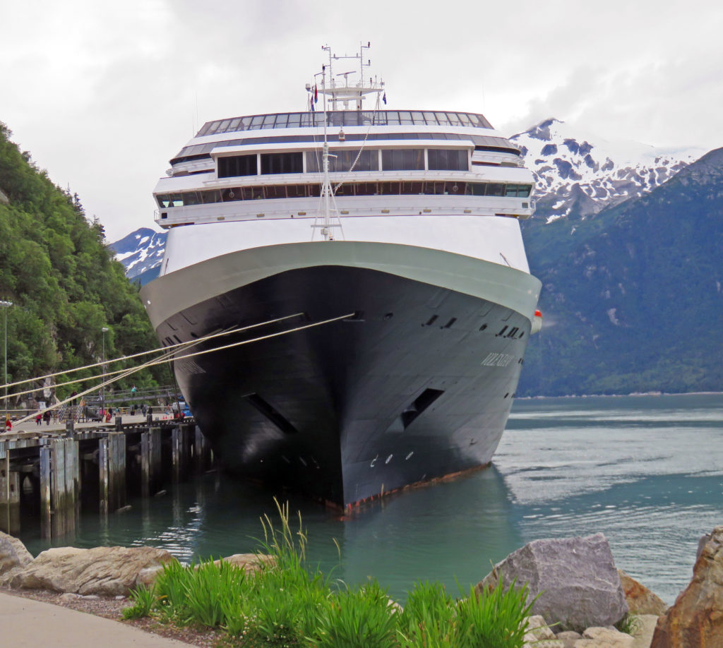
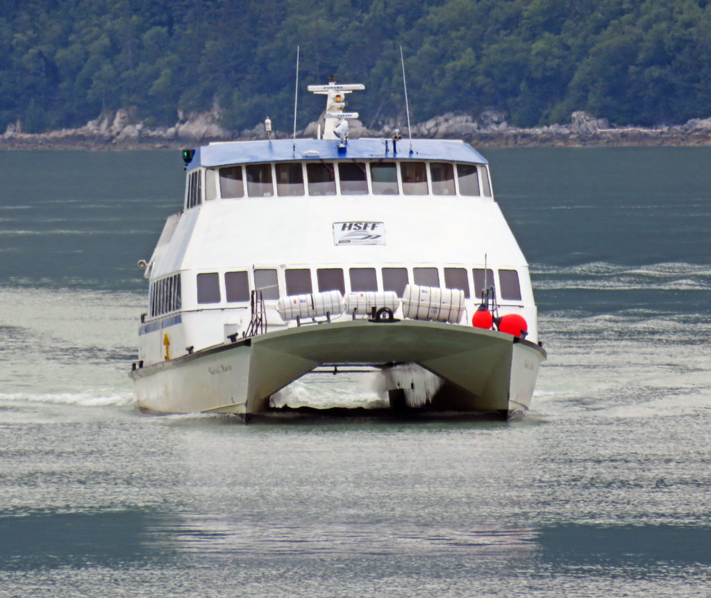
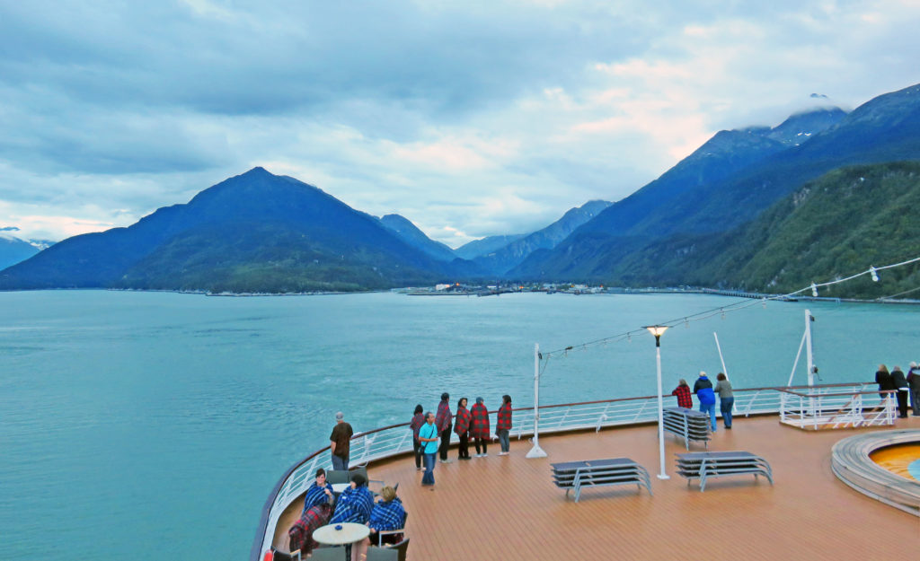
It was fun to watch the harbor activity, as there were several other cruise ships nearby, one of which was anchored and shuttling its passengers to and from shore with small boats. The area of water near the ship was also used as the “runway” for a constant stream of seaplanes that were landing and taking off. At 6 p.m. the Volendam cruised out of Ketchikan. Tuesday we would have a full day at sea sailing through the Inside Passage before we arrived Wednesday August 2, 2017 at our final port in Vancouver, British Columbia.
Fair winds,
Kathy
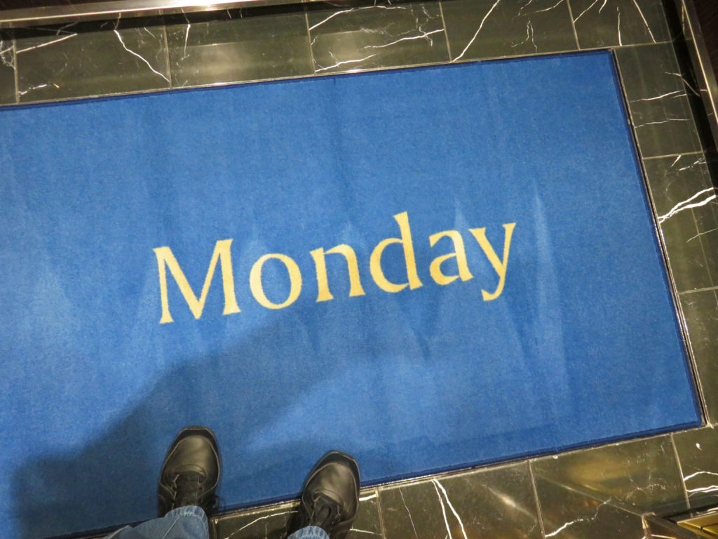
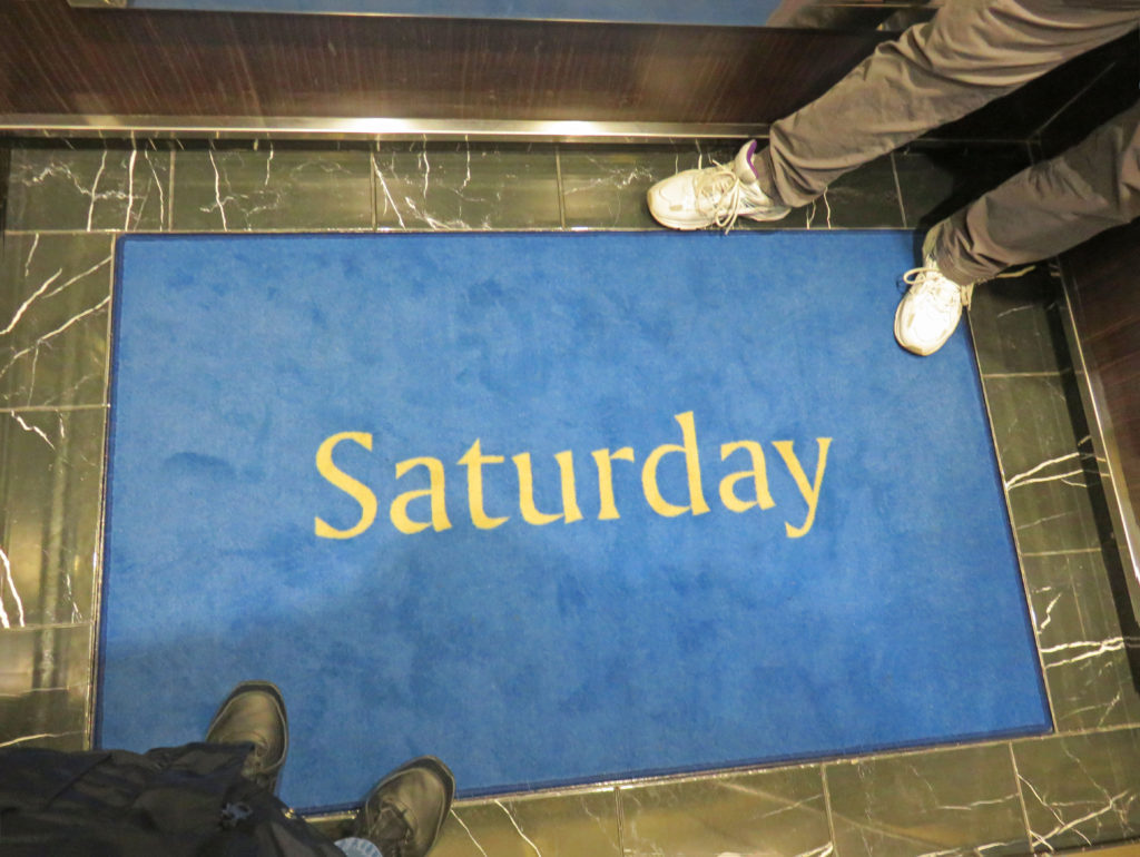
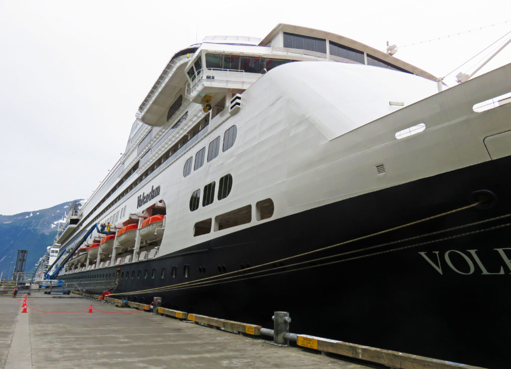
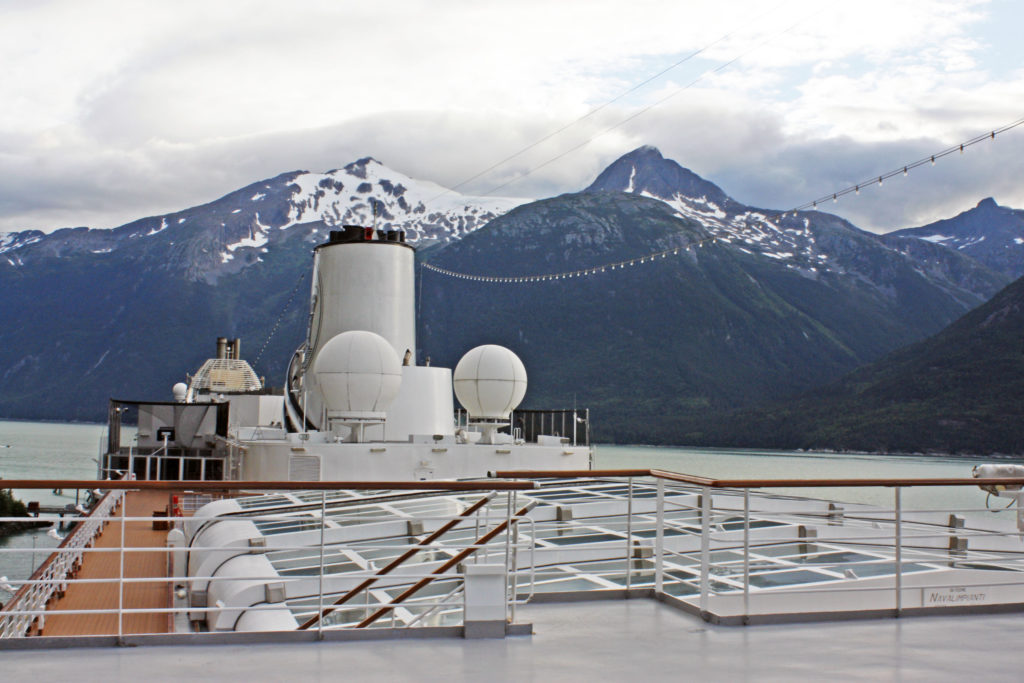
It’s Monday on the Volendam.
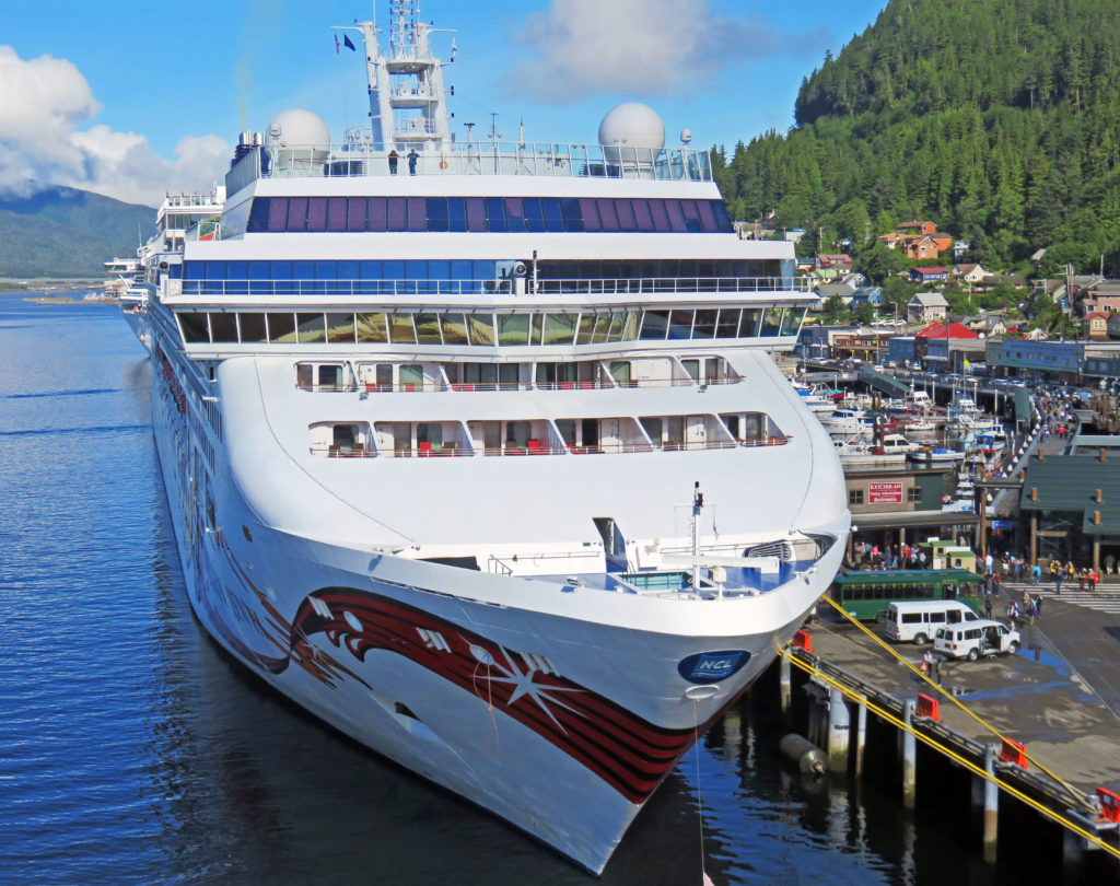
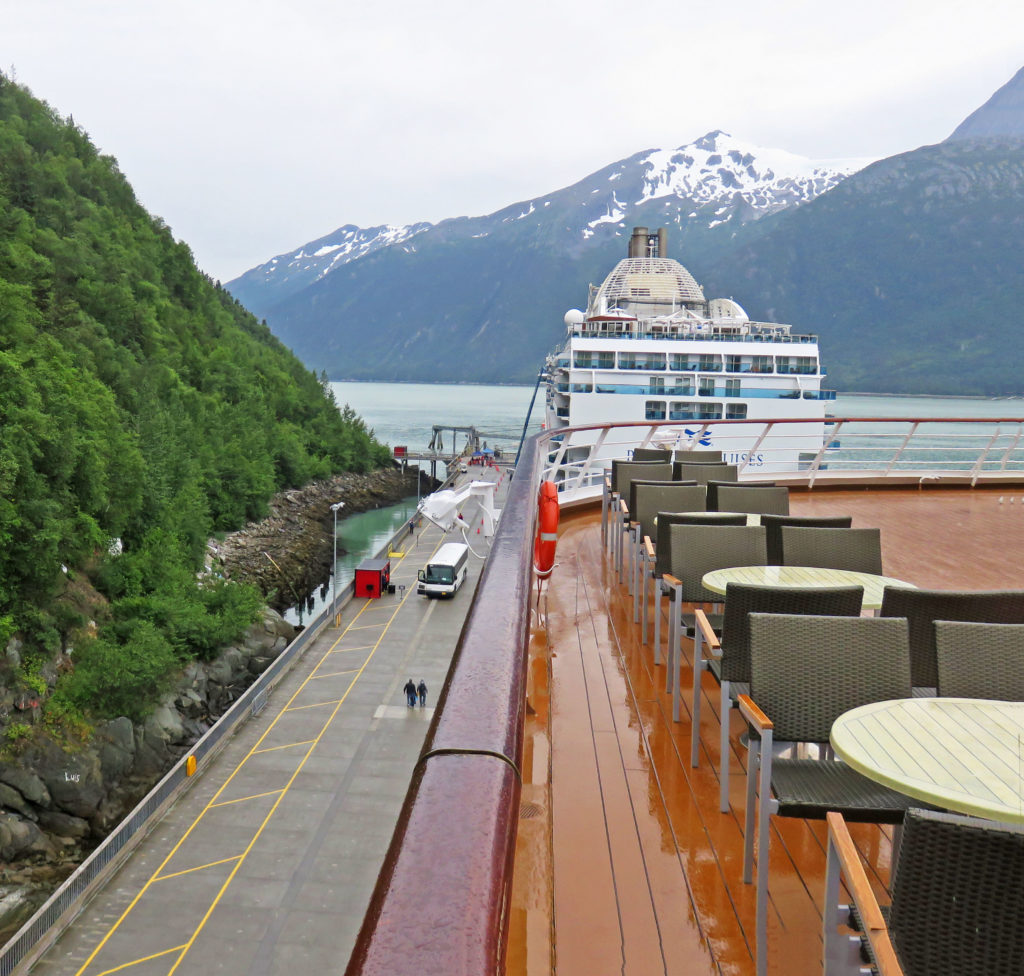
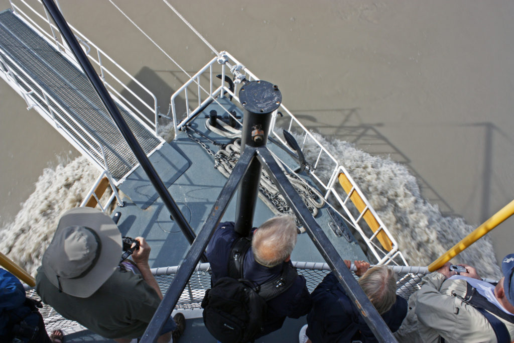
Looking down on another cruise ship in port.
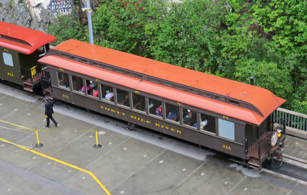
We start our walking tour in Ketchikan.
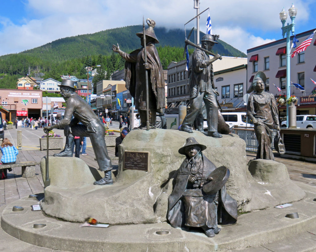
“The Rock” a monument representing Ketchikan’s first people and pioneers.
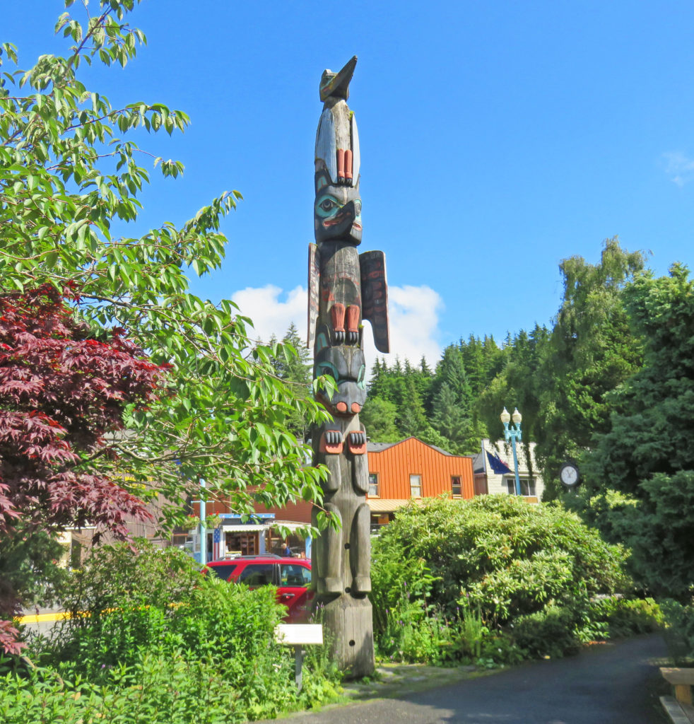
A replica of the Chief Kyan totem pole in Whale Park.
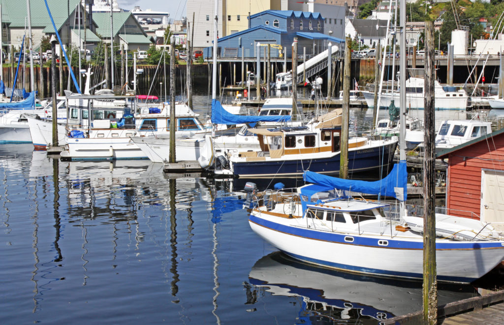
The Ketchikan Yacht Club in Thomas Basin Boat Harbor.

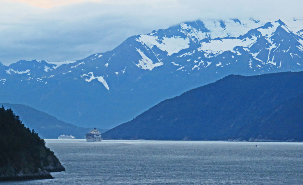
A view of a cruise ship in the distance.
Kathy dwarfed by a totem pole outside the Totem Heritage Center.
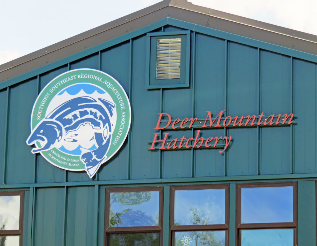
Deer Mountain is one of the oldest hatcheries in Alaska.
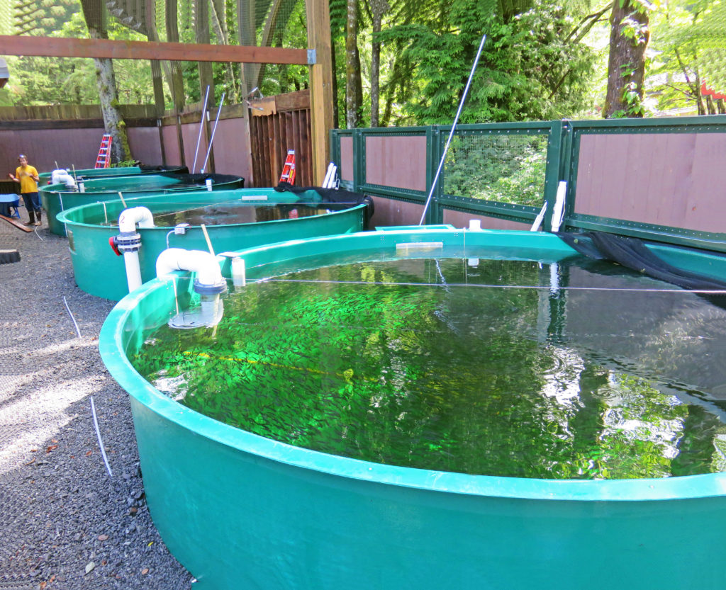
Hatchery basins full of juvenile salmon.
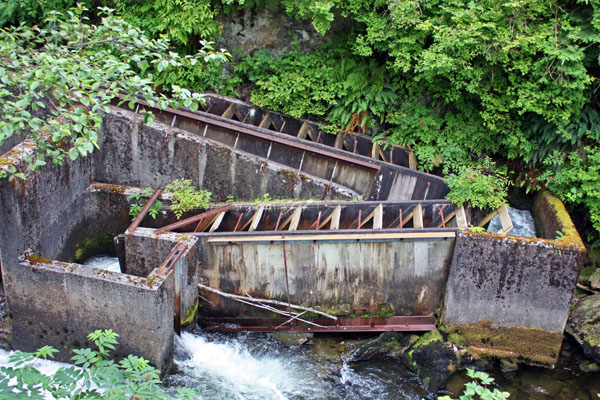
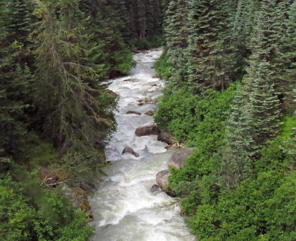
A concrete fish ladder on Ketchikan Creek.
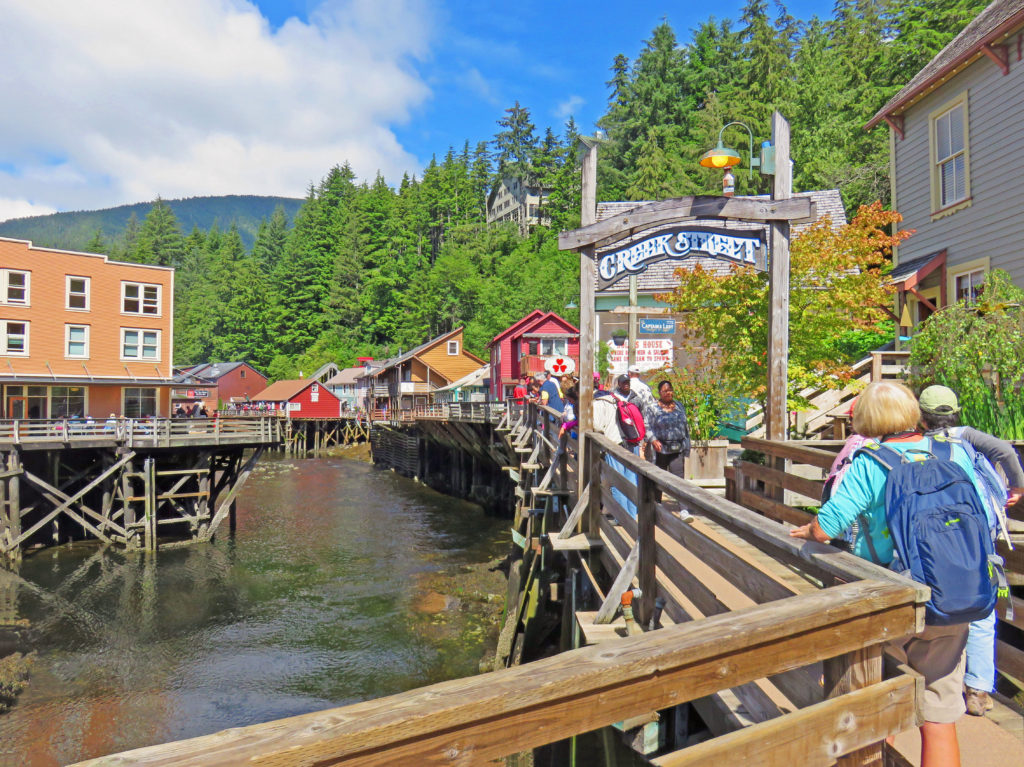
Historic Creek Street is one of Ketchikan’s best tourist attractions.
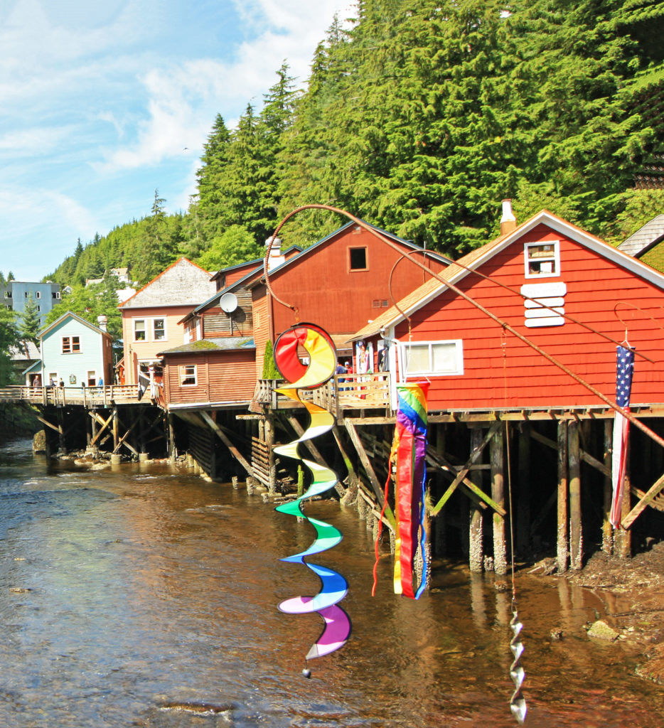
Historic buildings filled with picturesque shops line Ketchikan Creek.
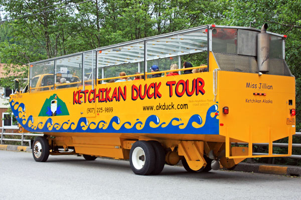
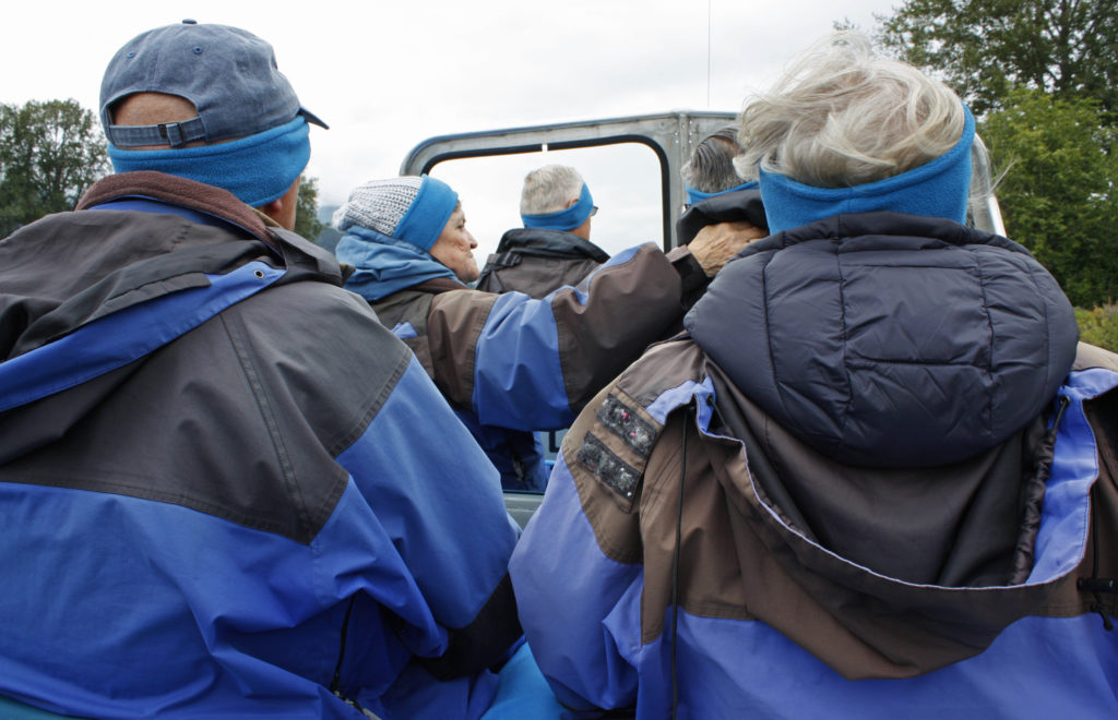
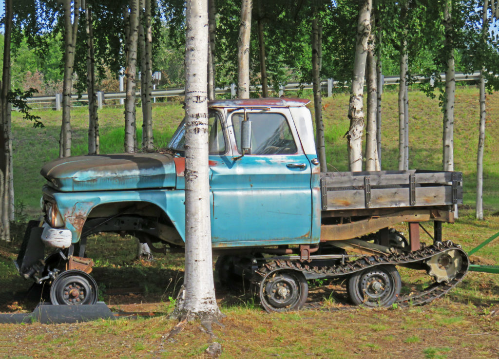
Tour Ketchikan by land and sea in this amphibious vehicle.
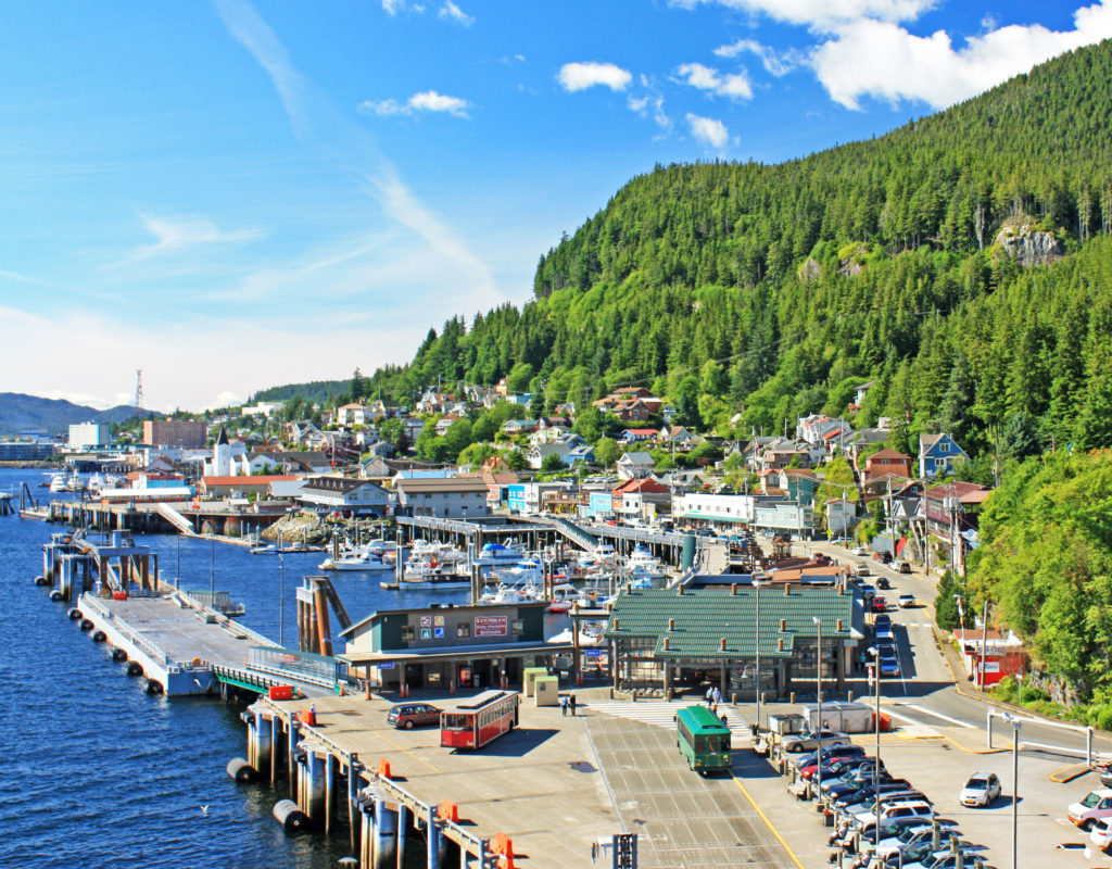
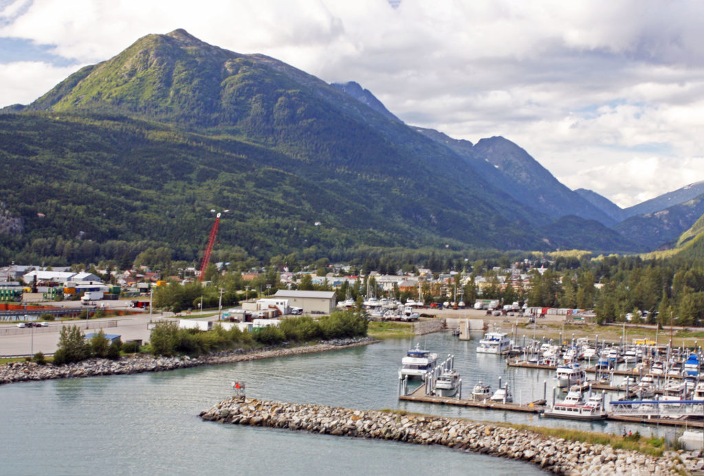
Looking down on Ketchikan’s Casey Moran Harbor.
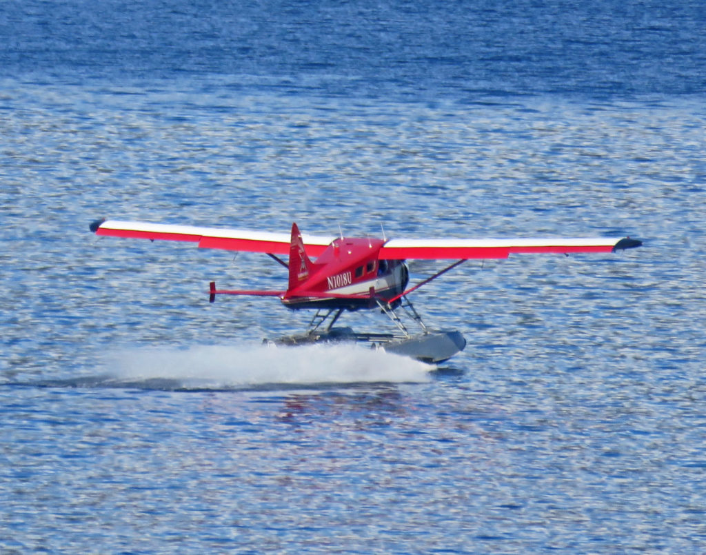
A seaplane landing in the harbor.
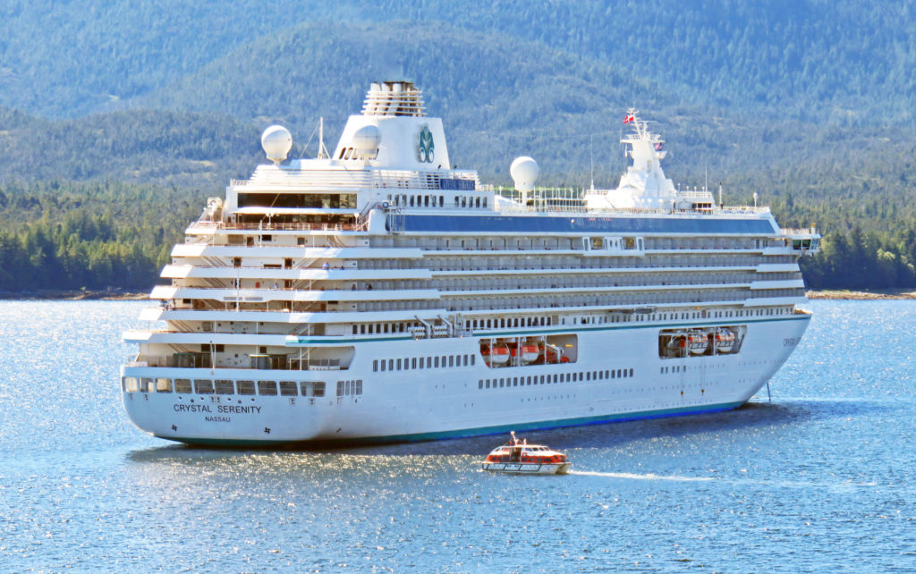
A cruise ship anchored in the harbor shuttles passengers to and from shore.
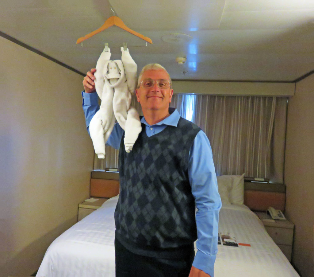
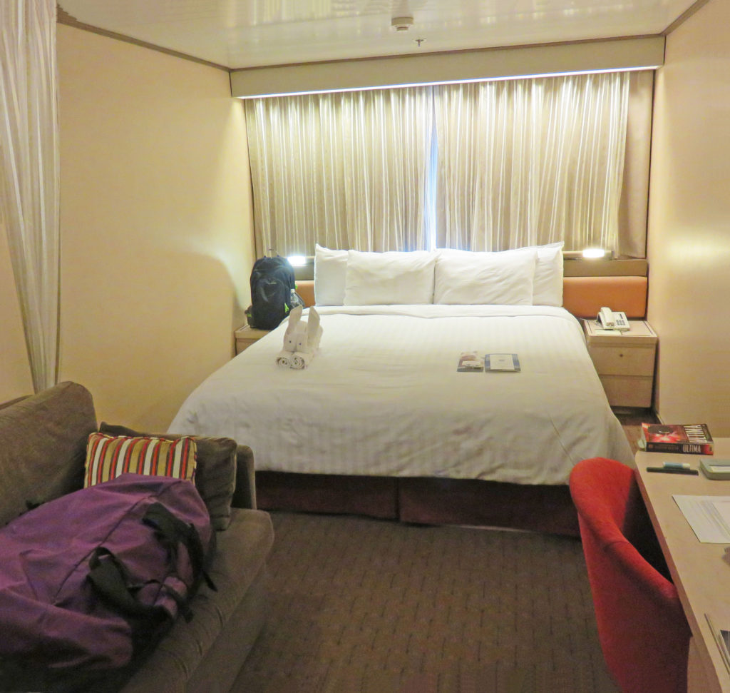
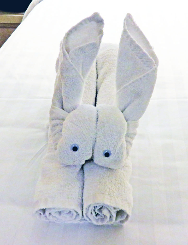
Two monkeys! Rodge poses with our towel animal of the day.